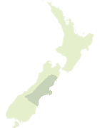
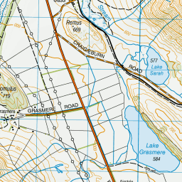
Map showing location of Bealey Spur
LINZ description: Locality 5 km south east of conjunction of Bealey and Waimakariri Rivers.
Latitude: -43.030088
Longitude: 171.63007
Northing: 5234933.4
Easting: 1488393
Land District: Canterbury
Feat Type: Locality
Latitude: -43.030088
Longitude: 171.63007
Northing: 5234933.4
Easting: 1488393
Land District: Canterbury
Feat Type: Locality
Scroll down to see a more detailed road map and below that a topographical map showing the location of Bealey Spur. The road map has been supplied by openstreetmap and the topographical map of Bealey Spur has been supplied by Land Information New Zealand (LINZ).
Yes you can use the top static map for you school/university project or personal website with a link back. Contact me for any commercial use.


Leaflet | Map data © OpenStreetMap contributors
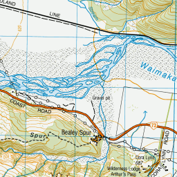
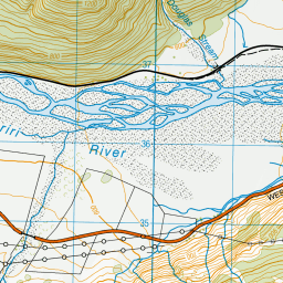
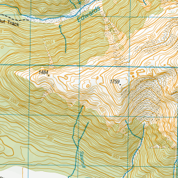
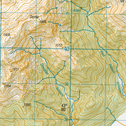
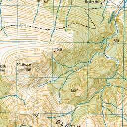
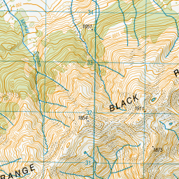
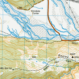
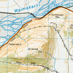
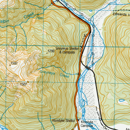
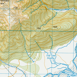
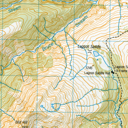
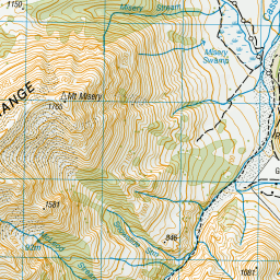
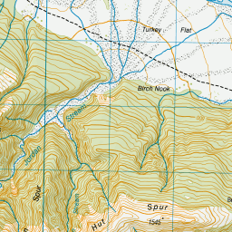
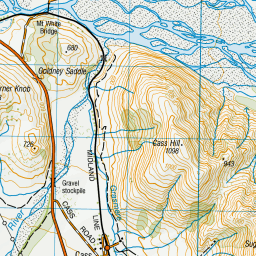
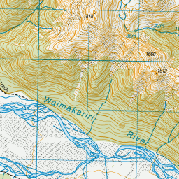
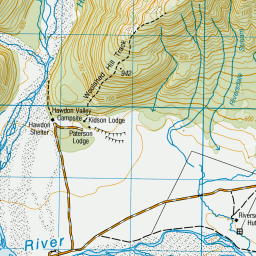
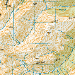

Leaflet | Sourced from LINZ. CC BY 4.0
[ A ] [ B ] [ C ] [ D ] [ E ] [ F ] [ G ] [ H ] [ I ] [ J ] [ K ] [ L ] [ M ] [ N ] [ O ] [ P ] [ Q ] [ R ] [ S ] [ T ] [ U ] [ V ] [ W ] [ X ] [ Y ] [ Z ]