New Zealand Backcountry Huts
Huts in New Zealand Beginning with W
These are a mixture of Department of Conservation and private huts. Those without much information are more than likely privately owned and may or maynot be open to the public. If anyone has any information on any of them it would be great if you contacted me and let me know.
The price of a serviced hut is $15 a night, standard hut is $5 a night, Basic/Bivvy are free or you can get an annual pass for $122. All these prices are half price for 11-17 year olds or free if 10 years old and under. The Great Walk huts vary from place to place and season to season but to give you an idea it is $140 a night on the Milford (half price for New Zealanders) to $15 off season and for summer at least they need to be booked through DoC which you can do online @ DoC. I do plan to add the tracks that these huts are on but it is proving to be complicated.
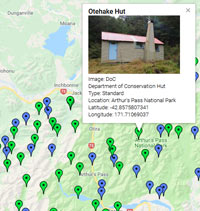
On each individual hut page I have included a zoomable topo map as well as a road map. Most of the information on these hut has been sourced from LINZ and DoC, so thanks to those two government departments :).
| Name | Latitude | Longitude | Area | Type | Photo | |
|---|---|---|---|---|---|---|
| West Sabine Hut | -42.0079482551 | 172.684059844 | Nelson Lakes National Park | Serviced |  | Map |
| Westies Hut | -46.2265919873 | 166.958550979 | Fiordland National Park, Tuatapere area | Basic/bivvies |  | Map |
| Westlawn Hut | -39.451933261 | 175.857070329 | Map | |||
| Whakapapaiti Hut | -39.2376780071 | 175.517645743 | Tongariro National Park | Serviced |  | Map |
| Whakatakaa Hut | -38.6924591678 | 177.001454198 | Te Urewera | Standard |  | Map |
| Whale Stream Hut | -43.9458309592 | 170.087690137 | Map | |||
| Whangaehu Hut | -39.2825000727 | 175.588623148 | Map | |||
| Whanganui Hut | -38.7207950398 | 177.040131827 | Te Urewera | Great Walk | 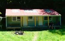 | Map |
| Whare Creek Hut | -45.6680363318 | 167.826229712 | Takitimu Conservation Area | Basic/bivvies | 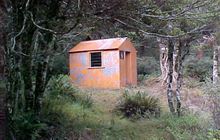 | Map |
| Wharekahika Hut | -38.2492865421 | 177.034734838 | Te Urewera | Basic/bivvies | 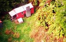 | Map |
| Wharepapa Hut | -41.3247212834 | 175.075433165 | Remutaka Forest Park | Basic/bivvies | 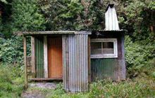 | Map |
| Wharfedale Hut | -43.1977387966 | 172.040457158 | Oxford Forest Conservation Area | Standard | 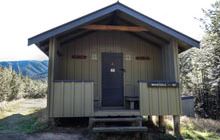 | Map |
| Whariwharangi Hut | -40.7890144048 | 172.974351686 | Abel Tasman National Park | Great Walk | 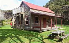 | Map |
| Wheel Creek Hut | -42.0708736422 | 172.131845678 | Victoria Forest Park | Basic/bivvies | 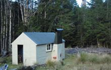 | Map |
| Whernside Hut | -41.9451586837 | 173.924879932 | Map | |||
| Whites Hut | -45.2641948669 | 169.134525284 | Map | |||
| Whymper Hut | -43.4420239178 | 170.371543245 | Whataroa area | Standard | 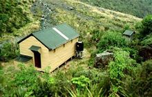 | Map |
| Wildlife Hut | -38.376778544 | 175.451231623 | Pureora Forest Park | Basic/bivvies | 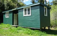 | Map |
| Wilkinson Hut | -43.1567401864 | 170.98985443 | Kokatahi River - Whitcombe River area | Basic/bivvies | 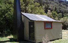 | Map |
| Wills Hut | -44.0385437536 | 169.461734438 | Makarora area, Mount Aspiring National Park | Standard | 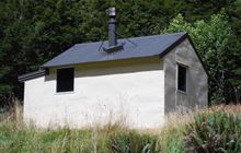 | Map |
| Wire Yards Hut | -44.8495324949 | 170.116910018 | Map | |||
| Woolshed Creek Hut | -43.6012375142 | 171.32581051 | Hakatere Conservation Park, Mount Somers area | Serviced | 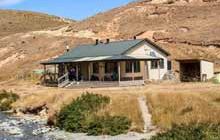 | Map |
| Worsley Bivouac | -42.8514819569 | 171.783075901 | Map | |||
| Worsley Hut | -44.9426301454 | 167.833462991 | Fiordland National Park | Standard | 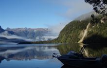 | Map |
| WTFRW Hut | -39.1278405821 | 176.128611919 | Map |
[ A ] [ B ] [ C ] [ D ] [ E ] [ F ] [ G ] [ H ] [ I ] [ J ] [ K ] [ L ] [ M ] [ N ] [ O ] [ P ] [ Q ] [ R ] [ S ] [ T ] [ U ] [ V ] [ W ] [ Y ] [ Z ]