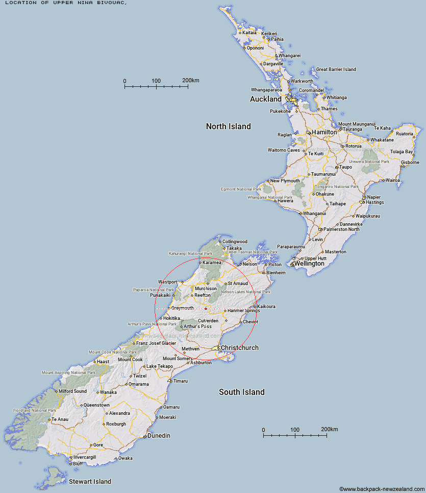
Topo Map showing location of Upper Nina Bivouac
This information is sourced from DoC, LINZ and Openstreetmap. Some of the hut photos are mine and the rest are from DoC. I will be adding an upload feature soon so people can photos of .Upper Nina Bivouac.
Latitude: -42.4695880192
Longitude: 172.272123407
Location:
Type of Hut:
Map: Topo Map | Road Map
Does this hut still exist? Have any more information? Contact
Latitude: -42.4695880192
Longitude: 172.272123407
Location:
Type of Hut:
Map: Topo Map | Road Map
Does this hut still exist? Have any more information? Contact
Scroll down to see a topographical map and road map showing the location of Upper Nina Bivouac
[ A ] [ B ] [ C ] [ D ] [ E ] [ F ] [ G ] [ H ] [ I ] [ J ] [ K ] [ L ] [ M ] [ N ] [ O ] [ P ] [ Q ] [ R ] [ S ] [ T ] [ U ] [ V ] [ W ] [ Y ] [ Z ]
Closest 20 Huts to Upper Nina Bivouac
These are as the crow fliesDevils Den Bivouac 2.72km Lake Christabel Hut 3.86km Nina Hut 4.13km Brass Monkey Bivouac 6.64km Doubtful Hut 6.9km Doubtless Hut 6.95km Top Robinson Hut 7.67km Lucretia Hut 7.85km Lake Man Bivouac 9.64km Saint Jacob's Hut 15.33km Boyle Flat Hut 15.47km Bus Shelter 15.5km Top Hope Hut 15.53km Mid Robinson Hut 15.77km Rokeby Hut 16.2km Hope Halfway Hut 16.39km Magdalen Hut 16.91km Pell Stream Hut 16.97km Slaty Creek Hut 17.51km Museum Hut 17.96km Manson-Nicholls Memorial Hut 18.36km Carlyle Hut 20.41km Cannibal Gorge Hut 20.51km Three Mile Stream Hut 22.92km Steyning Hut 23.45km Evangeline Bivouac 23.67km Anne Cullers Hut 23.74km Ada Pass Hut 23.84km Tin Jug Hut 24.79km Anne Hut 24.86km Jervois Hut 25.82km Mackenzie Bivouac 26.1km Lake Stream Hut 27.22km Gabriel Hut 28.02km Jollie Brook Hut 28.29km Lake Sumner Hut 28.37km Glenrae Bivouac 28.66km Mackenzie Hut 28.75km Tutu Hut 28.84km Stony Stream Bivouac 29.24km