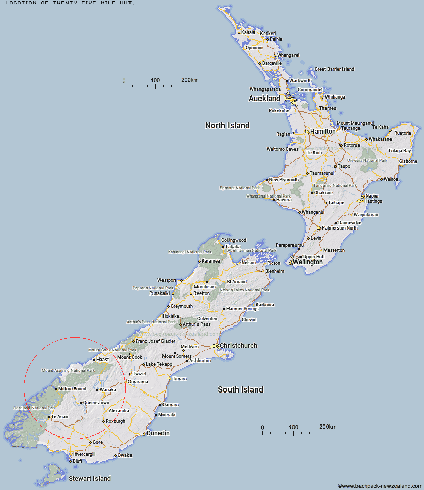
Topo Map showing location of Twenty Five Mile Hut
This information is sourced from DoC, LINZ and Openstreetmap. Some of the hut photos are mine and the rest are from DoC. I will be adding an upload feature soon so people can photos of .Twenty Five Mile Hut.
Latitude: -44.6406211983
Longitude: 168.470432839
Location:
Type of Hut:
Map: Topo Map | Road Map
Does this hut still exist? Have any more information? Contact
Latitude: -44.6406211983
Longitude: 168.470432839
Location:
Type of Hut:
Map: Topo Map | Road Map
Does this hut still exist? Have any more information? Contact
Scroll down to see a topographical map and road map showing the location of Twenty Five Mile Hut
[ A ] [ B ] [ C ] [ D ] [ E ] [ F ] [ G ] [ H ] [ I ] [ J ] [ K ] [ L ] [ M ] [ N ] [ O ] [ P ] [ Q ] [ R ] [ S ] [ T ] [ U ] [ V ] [ W ] [ Y ] [ Z ]
Closest 20 Huts to Twenty Five Mile Hut
These are as the crow fliesEarnslaw Hut 2.77km Esquilant Bivvy Hut 5.75km Shelter Rock Hut 9.6km Daleys Flat Hut 12.78km Lochnagar Hut 12.83km Sixteen Mile Huts 14.67km Dart Hut 14.81km Hundred Mile Hut 15.4km Routeburn Shelter 17.51km Tummel Burn Hut 17.69km Ballarat Hut - Flood Burn 19.18km McIntosh Hut 21.27km Shiel Burn Hut 21.45km Archie's Hut - Copper Creek 21.74km McIntyre's Hut 22km Routeburn Flats Hut 22.27km Cascade Hut 22.7km Bullendale Hut 22.9km Routeburn Falls Hut 23.43km Dynamo Hut 23.44km Routeburn Falls Lodge 23.48km Aspiring Hut 23.59km Wallers Hut 23.59km Heather Jock Hut 23.79km Jean Hut 23.79km Polnoon Hut 24.21km Bonnie Jean Hut 24.36km Stoney Creek Hut 24.91km Kay Creek Hut 24.98km Cabin Hut 25.18km Kelly's Hut 25.56km Raspberry Creek Shelter 26.13km Crystal Hut 26.25km Lake Mackenzie Hut 27.37km Lake Mackenzie Lodge 27.46km Arawhata Rock Bivouac 27.5km Lake Alabaster Hut 27.9km Sunshine Hut 27.93km Liverpool Hut 27.94km Hidden Falls Hut 28.23km