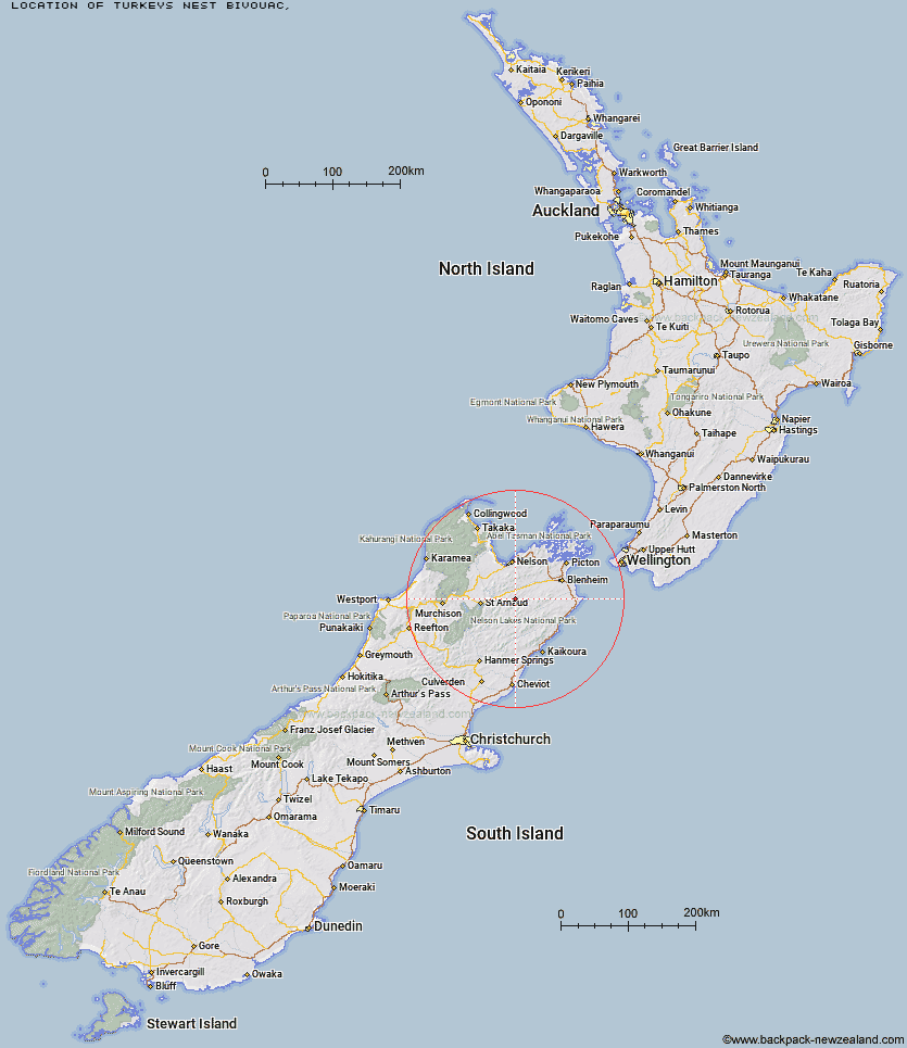
Topo Map showing location of Turkeys Nest Bivouac
This information is sourced from DoC, LINZ and Openstreetmap. Some of the hut photos are mine and the rest are from DoC. I will be adding an upload feature soon so people can photos of .Turkeys Nest Bivouac.
Latitude: -41.747123107
Longitude: 173.321868125
Location:
Type of Hut:
Map: Topo Map | Road Map
Does this hut still exist? Have any more information? Contact
Latitude: -41.747123107
Longitude: 173.321868125
Location:
Type of Hut:
Map: Topo Map | Road Map
Does this hut still exist? Have any more information? Contact
Scroll down to see a topographical map and road map showing the location of Turkeys Nest Bivouac
[ A ] [ B ] [ C ] [ D ] [ E ] [ F ] [ G ] [ H ] [ I ] [ J ] [ K ] [ L ] [ M ] [ N ] [ O ] [ P ] [ Q ] [ R ] [ S ] [ T ] [ U ] [ V ] [ W ] [ Y ] [ Z ]
Closest 20 Huts to Turkeys Nest Bivouac
These are as the crow fliesHidden Hut 2.31km Gosling Hut 2.94km Boulder Forks Hut 7.36km Caves Hut 12.77km Blue Mountain Hut 12.85km Top Whare 13.94km Barbers Hut 18.11km Lower Goulter Hut 19.25km Mid Goulter Hut 19.86km Lake Chalice Hut 19.94km Greigs Hut 20.53km Top Gordon Hut 23.05km Silverstream Bivouac 23.78km Burnt Yards Hut 24.23km Mid Silverstream Hut 24.31km Bottom Gordons Hut 25.08km Old Man Hut 25.09km Siberia Hut 25.19km Tarn Hut 25.2km Top Wairoa Hut 25.47km Mid Wairoa Hut 25.72km Mt Rintoul Hut 26.69km Red Hills Hut 27.46km Lost Stream Bivouac 27.93km Lake Alexander Hut 28.21km Bull Paddock Creek Hut 28.63km Porters Creek Hut 28.88km Bottom Misery Hut 29.03km Slaty Hut 29.32km Old Middlehurst Hut 29.64km Penk Hut 30.34km Munroe Hut 30.74km Richmond Saddle Hut 30.8km Top Misery Hut 31.13km Hunters Hut 31.16km Top Leatham Hut 32.03km McNaughts Hut 32.52km Beebys Hut 32.57km Starveall Hut 32.85km Team Hut 32.98km