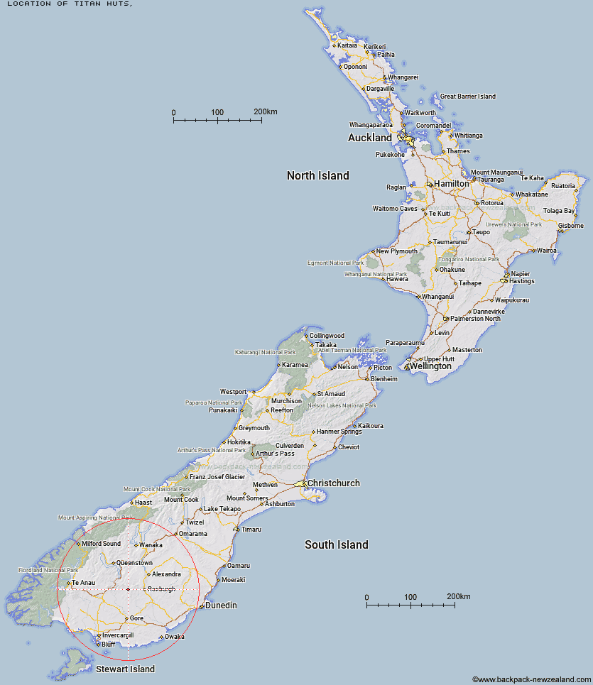
Topo Map showing location of Titan Huts
This information is sourced from DoC, LINZ and Openstreetmap. Some of the hut photos are mine and the rest are from DoC. I will be adding an upload feature soon so people can photos of .Titan Huts.
Latitude: -45.5447344102
Longitude: 168.973557055
Location:
Type of Hut:
Map: Topo Map | Road Map
Does this hut still exist? Have any more information? Contact
Latitude: -45.5447344102
Longitude: 168.973557055
Location:
Type of Hut:
Map: Topo Map | Road Map
Does this hut still exist? Have any more information? Contact
Scroll down to see a topographical map and road map showing the location of Titan Huts
[ A ] [ B ] [ C ] [ D ] [ E ] [ F ] [ G ] [ H ] [ I ] [ J ] [ K ] [ L ] [ M ] [ N ] [ O ] [ P ] [ Q ] [ R ] [ S ] [ T ] [ U ] [ V ] [ W ] [ Y ] [ Z ]
Closest 20 Huts to Titan Huts
These are as the crow fliesJunction Hut 6.19km Flaxy Hut 7.24km Blue Lake Huts 7.73km Black Hut 8.65km Bush Huts 8.94km Stronach Hut 11.21km Christies Hut 11.36km Dome Hut 13.58km Hyde Home Hut 15.57km Junction Hut 16.83km Jim Baird Hut 17.47km Sullivan Hut 17.94km Andrew Rees Hut 18.49km Potters Huts 18.68km McCrimmons Hut 18.93km Slate Hut 19.24km Mud Hut 19.5km Garston Ski Hut 20.26km Diggers Hut 20.87km Leithen Hut 24.62km Nicholsons Hut 27.02km Baileys Hut 27.32km Boundary Hut 27.39km Beaumont Hut 28.5km Whites Hut 33.63km Mitchells Hut 36.8km Old Woman Hut 38.19km Ross Hut 40.51km Mansion Hut 43.09km Two Mile Hut 43.27km Siberia Hut 43.57km Cowshed Hut 43.61km Shepherd Creek Hut 45.03km Mt Bee Bunkrooms 46.87km Irthing Hut 48.02km Cromel Base Hut 48.25km Billy Hut 48.3km Long Burn Hut 48.33km Cromel Branch Hut 48.46km Dog Box Bivouac 49.02km