Topo Map showing location of Tiraumea Hut
This information is sourced from DoC, LINZ and Openstreetmap. Some of the hut photos are mine and the rest are from DoC. I will be adding an upload feature soon so people can photos of .Tiraumea Hut.
Basic info: standard 6-bunk hut in the Nelson Lakes area.
Latitude: -41.9078676627
Longitude: 172.581798832
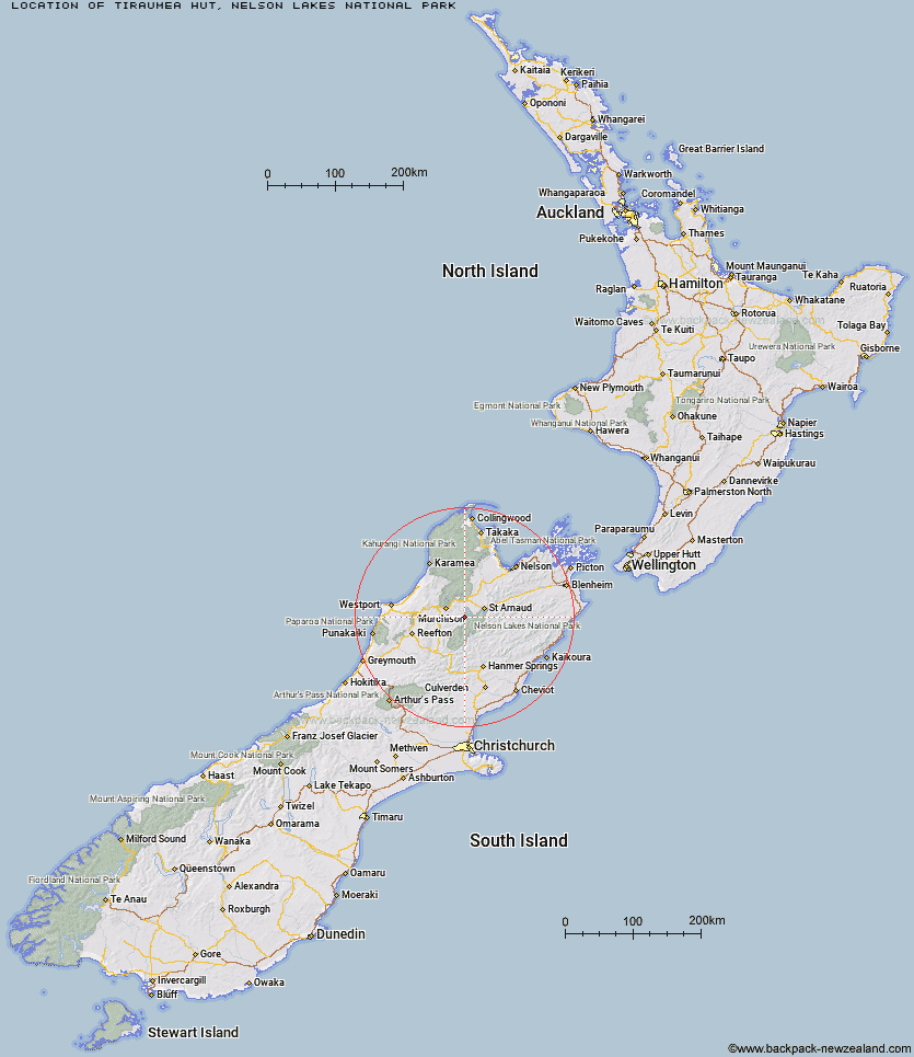
Location: Nelson Lakes National Park
Area: Nelson/Tasman
Type of Hut: Standard
Map: BS24 Topo Map | Road Map
Does this hut still exist? Have any more information? Contact
Basic info: standard 6-bunk hut in the Nelson Lakes area.
Latitude: -41.9078676627
Longitude: 172.581798832
Location: Nelson Lakes National Park
Area: Nelson/Tasman
Type of Hut: Standard
Map: BS24 Topo Map | Road Map
Does this hut still exist? Have any more information? Contact

Image: DoC
Scroll down to see a topographical map and road map showing the location of Tiraumea Hut
[ A ] [ B ] [ C ] [ D ] [ E ] [ F ] [ G ] [ H ] [ I ] [ J ] [ K ] [ L ] [ M ] [ N ] [ O ] [ P ] [ Q ] [ R ] [ S ] [ T ] [ U ] [ V ] [ W ] [ Y ] [ Z ]
Closest 20 Huts to Tiraumea Hut
These are as the crow fliesD'Urville Hut 5.34km Mole Hut 6km Mount Misery Hut 7.91km Sabine Hut 8.27km Morgan Hut 9.26km Matakitaki Base Hut 13.05km West Sabine Hut 13.98km Angelus Hut 13.98km Cupola Hut 14.38km Hopeless Hut 14.68km Speargrass Hut 15.43km George Lyon Hut 15.64km John Tait Hut 17.15km Blue Lake Hut 17.79km Upper Travers Hut 18.7km Coldwater Hut 19.91km Lakehead Hut 20.21km Relax Shelter 20.5km Bushedge Shelter 20.77km Bushline Hut 21.5km Upper D'Urville Hut 22.37km Begley Hut 22.79km Nardoo Hut 24.47km Downie Hut 25.5km Paske Hut 26.77km Connors Creek Hut 27.33km Caroline Creek Bivouac 28.08km Burn Creek Hut 29.75km East Matakitaki Hut 31.83km Lees Creek Hut 32.75km Island Gully Hut 33.32km Top Misery Hut 34.24km Lake Matiri Hut 34.92km Bull Paddock Creek Hut 35.32km Beebys Hut 35.75km Bobs Hut 36km Sedgemere Sleepout 36.48km Lost Stream Bivouac 36.96km Branch Bivouac 38.17km Bottom Misery Hut 38.71km