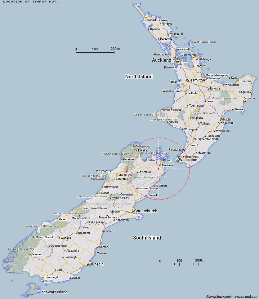
Topo Map showing location of Tinpot Hut
This information is sourced from DoC, LINZ and Openstreetmap. Some of the hut photos are mine and the rest are from DoC. I will be adding an upload feature soon so people can photos of .Tinpot Hut.
Latitude: -41.6408910929
Longitude: 173.874626285
Location:
Type of Hut:
Map: Topo Map | Road Map
Does this hut still exist? Have any more information? Contact
Latitude: -41.6408910929
Longitude: 173.874626285
Location:
Type of Hut:
Map: Topo Map | Road Map
Does this hut still exist? Have any more information? Contact
Scroll down to see a topographical map and road map showing the location of Tinpot Hut
[ A ] [ B ] [ C ] [ D ] [ E ] [ F ] [ G ] [ H ] [ I ] [ J ] [ K ] [ L ] [ M ] [ N ] [ O ] [ P ] [ Q ] [ R ] [ S ] [ T ] [ U ] [ V ] [ W ] [ Y ] [ Z ]
Closest 20 Huts to Tinpot Hut
These are as the crow fliesBeehive Hut 8.47km Black Birch Bivouac 9.67km Ramshead Hut 10.39km Omaka Bivouac 12.84km Dillon Hut 14.43km McNaughts Hut 14.9km Lake Alexander Hut 21.39km Penk Hut 22.69km Chimney 25.97km Flynns 29.71km Isolation Hut 30.17km Beechs Hut 30.34km Fosters Hut 30.4km Mt Sunday Bivouac 30.49km Swale Hut 30.66km Zoo Hut 31.7km Cam Hut 33.07km Whernside Hut 34.09km Devils Creek Hut 35.19km Mead Hut 37.22km Fishtail Hut 38.69km Cabbage Tree Hut 39.2km Gibson Hut 41.09km Dee Hut 41.19km Top Whare 43.35km Mt Fell Hut 43.36km Richmond Saddle Hut 44.9km Gosling Hut 46.41km Old Middlehurst Hut 46.56km Lake Chalice Hut 46.81km Snowgrass Hut 47.05km Captain Creek Hut 47.12km Turkeys Nest Bivouac 47.39km Hornby Bivvy 48.57km Middy Creek Hut 49.24km Hidden Hut 49.3km Roebuck Hut 50.02km Old Man Hut 51.84km Blue Mountain Hut 51.91km Jam Hut 52.25km