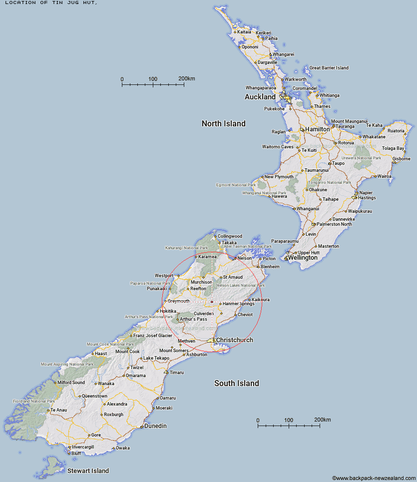
Topo Map showing location of Tin Jug Hut
This information is sourced from DoC, LINZ and Openstreetmap. Some of the hut photos are mine and the rest are from DoC. I will be adding an upload feature soon so people can photos of .Tin Jug Hut.
Latitude: -42.4658315876
Longitude: 172.574262889
Location:
Type of Hut:
Map: Topo Map | Road Map
Does this hut still exist? Have any more information? Contact
Latitude: -42.4658315876
Longitude: 172.574262889
Location:
Type of Hut:
Map: Topo Map | Road Map
Does this hut still exist? Have any more information? Contact
Scroll down to see a topographical map and road map showing the location of Tin Jug Hut
[ A ] [ B ] [ C ] [ D ] [ E ] [ F ] [ G ] [ H ] [ I ] [ J ] [ K ] [ L ] [ M ] [ N ] [ O ] [ P ] [ Q ] [ R ] [ S ] [ T ] [ U ] [ V ] [ W ] [ Y ] [ Z ]
Closest 20 Huts to Tin Jug Hut
These are as the crow fliesSteyning Hut 1.39km Stony Stream Bivouac 4.46km Jervois Hut 5.61km Scotties Hut 6.72km Old Bridge Hut 8.29km Pool Hut 8.49km Magdalen Hut 8.87km Boyle Flat Hut 9.32km Rokeby Hut 9.76km Tutu Hut 9.77km Carlyle Hut 11.39km Anne Cullers Hut 13.17km Anne Hut 13.29km Stanley Vale Hut 18.09km Lucretia Hut 19.01km Cannibal Gorge Hut 19.49km Christopher Hut 19.74km Ada Pass Hut 20.34km Christopher Cullers Hut 20.36km Nina Hut 20.68km Lake Guyon Hut 20.79km Bus Shelter 20.9km Brass Monkey Bivouac 21.81km Fowlers Hut 23.08km Devils Den Bivouac 23.09km Valley Camp Hut 23.51km Upper Nina Bivouac 24.79km Doubtful Hut 24.94km Pell Stream Hut 24.94km Lake Christabel Hut 26.37km Glenrae Bivouac 27.64km Bobs Hut 27.88km Hope Halfway Hut 28.12km Bush Hut 28.59km Doubtless Hut 29.22km Manson-Nicholls Memorial Hut 29.44km Lake Man Bivouac 30.09km East Matakitaki Hut 30.31km Saint Jacob's Hut 31.72km Museum Hut 31.86km