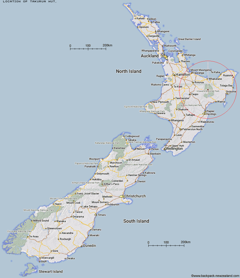
Topo Map showing location of Takurua Hut
This information is sourced from DoC, LINZ and Openstreetmap. Some of the hut photos are mine and the rest are from DoC. I will be adding an upload feature soon so people can photos of .Takurua Hut.
Latitude: -38.4804577112
Longitude: 177.006911695
Location:
Type of Hut:
Map: Topo Map | Road Map
Does this hut still exist? Have any more information? Contact
Latitude: -38.4804577112
Longitude: 177.006911695
Location:
Type of Hut:
Map: Topo Map | Road Map
Does this hut still exist? Have any more information? Contact
Scroll down to see a topographical map and road map showing the location of Takurua Hut
[ A ] [ B ] [ C ] [ D ] [ E ] [ F ] [ G ] [ H ] [ I ] [ J ] [ K ] [ L ] [ M ] [ N ] [ O ] [ P ] [ Q ] [ R ] [ S ] [ T ] [ U ] [ V ] [ W ] [ Y ] [ Z ]
Closest 20 Huts to Takurua Hut
These are as the crow fliesNgahiramai Hut 2.87km Tawhiwhi Hut 3.85km Otanetea Hut 4.21km Hanamahihi Hut 7km Taurawharona Hut 8.23km Te Panaa Hut 8.44km Ohane Hut 9.31km Waikare Junction Hut 9.95km Waiawa Hut 10.05km Manaohou Right Branch Hut 10.8km Te Pourewa Hut 11.07km Te Pua Hut 11.26km Makomako Hut 12.28km Kanohirua Hut 13.64km Mangatoatoa Hut 14.92km Otane Hut 14.92km Otapukawa Hut 15.78km Mangapouri Hut 16.47km Duckville Hut 17.2km Horomanga Base Camp 17.47km Te Rangaakapua Hut 17.75km Onepu Hut 18.29km Ohora Hut 18.51km Tataweka Hut 18.61km Okui Hut 19.68km Casino Hut 20.37km Makakoere Hut 21.05km Koaunui Hut 21.49km Mangamako Hut 21.87km Manuoha Hut 21.89km Apiti Hut 22.46km Tawa Hut 22.86km Kahunui Hut 23.5km Whakatakaa Hut 23.58km Saddle (Mangaawai) Hut 23.61km Waihua Hut 24.83km Wharekahika Hut 25.82km Koranga Forks Hut 26.14km Twain (Waipotiki) Hut 26.22km Whanganui Hut 26.88km