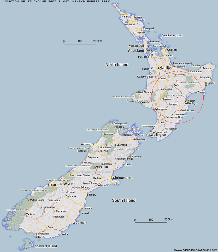
Topo Map showing location of Studholme Saddle Hut
This information is sourced from DoC, LINZ and Openstreetmap. Some of the hut photos are mine and the rest are from DoC. I will be adding an upload feature soon so people can photos of .Studholme Saddle Hut.
Basic info: Studholme Saddle Hut is located on the western side of the main Kaweka Range, south of Kaweka J.
Latitude: -39.301066412
Longitude: 176.364316362
Location: Kaweka Forest Park
Area: Hawke's Bay
Type of Hut: Standard
Map: BJ37 Topo Map | Road Map
Does this hut still exist? Have any more information? Contact
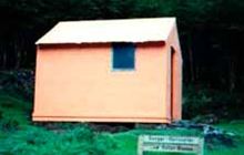
Image: DoC
Scroll down to see a topographical map and road map showing the location of Studholme Saddle Hut
[ A ] [ B ] [ C ] [ D ] [ E ] [ F ] [ G ] [ H ] [ I ] [ J ] [ K ] [ L ] [ M ] [ N ] [ O ] [ P ] [ Q ] [ R ] [ S ] [ T ] [ U ] [ V ] [ W ] [ Y ] [ Z ]
Closest 20 Huts to Studholme Saddle Hut
These are as the crow fliesStudholme Saddle Bivouac 0.5km Back Ridge Hut 2.78km Back Ridge Bivouac 3.13km Dominie Hut 3.42km Makahu Saddle Hut 4.05km Mackintosh Hut 4.34km Kiwi Saddle Hut 5.14km Kaweka Flats Bivouac 6.25km Black Birch Bivouac 6.36km Rocks Ahead Hut 6.47km Manson Bivouac 6.53km Rocks Ahead Bivouac 6.58km Ballard Hut 7.03km Venison Tops Hut (Tira Lodge) 7.03km Iron Whare 7.58km Kiwi Mouth Hut 7.79km Omarukokere Bivouac 8.43km Old Manson Hut 8.74km Manson Hut 9km Cameron Hut 9.17km Mangaturutu Hut 9.57km Middle Hill Hut 9.8km Otutu Hut 11.71km Rock Camp Bivouac 11.96km Ngaawapurua Hut 12.4km Lowry Shelter 12.69km Makino Hut 12.94km Otutu Island Hut 13.41km Te Puke (Te Pukeohikarua) Hut 14.15km Harkness Hut 15.94km Mangatainoka Hut 18.42km Comet Hut 19.68km Tussock Hut 19.79km Golden Hills Hut 20.04km Te Matai Hut 20.74km Lower Ripia Hut 20.94km Tevers Hut 21.77km Upper Ripia Hut 22.16km Ernie's Creek Hut 22.49km Shutes Hut 24.23km