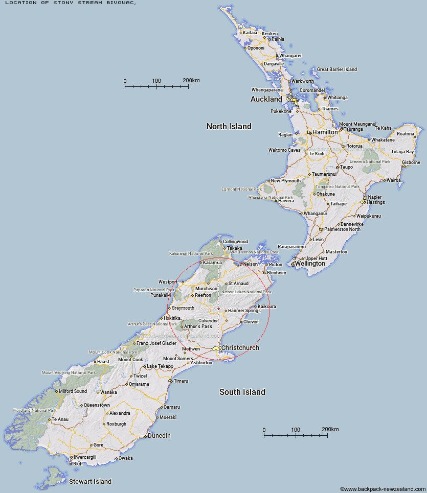
Topo Map showing location of Stony Stream Bivouac
This information is sourced from DoC, LINZ and Openstreetmap. Some of the hut photos are mine and the rest are from DoC. I will be adding an upload feature soon so people can photos of .Stony Stream Bivouac.
Latitude: -42.4635283773
Longitude: 172.628504798
Location:
Type of Hut:
Map: Topo Map | Road Map
Does this hut still exist? Have any more information? Contact
Latitude: -42.4635283773
Longitude: 172.628504798
Location:
Type of Hut:
Map: Topo Map | Road Map
Does this hut still exist? Have any more information? Contact
Scroll down to see a topographical map and road map showing the location of Stony Stream Bivouac
[ A ] [ B ] [ C ] [ D ] [ E ] [ F ] [ G ] [ H ] [ I ] [ J ] [ K ] [ L ] [ M ] [ N ] [ O ] [ P ] [ Q ] [ R ] [ S ] [ T ] [ U ] [ V ] [ W ] [ Y ] [ Z ]
Closest 20 Huts to Stony Stream Bivouac
These are as the crow fliesScotties Hut 3.87km Tin Jug Hut 4.46km Steyning Hut 5.82km Jervois Hut 6.75km Old Bridge Hut 7.25km Pool Hut 7.6km Tutu Hut 9.83km Magdalen Hut 13.15km Boyle Flat Hut 13.77km Rokeby Hut 13.94km Carlyle Hut 14.54km Anne Hut 14.93km Anne Cullers Hut 15.14km Stanley Vale Hut 16.6km Lake Guyon Hut 19.69km Fowlers Hut 20.11km Christopher Hut 20.15km Christopher Cullers Hut 20.88km Cannibal Gorge Hut 22.3km Ada Pass Hut 22.59km Lucretia Hut 23.32km Valley Camp Hut 24.48km Bus Shelter 24.64km Nina Hut 25.13km Brass Monkey Bivouac 26.11km Devils Den Bivouac 27.54km Pell Stream Hut 28.4km Bobs Hut 29.12km Upper Nina Bivouac 29.24km Doubtful Hut 29.28km Bush Hut 29.57km Glenrae Bivouac 29.88km East Matakitaki Hut 30.58km Lake Christabel Hut 30.76km Hope Halfway Hut 31.94km Manson-Nicholls Memorial Hut 32.95km Doubtless Hut 33.63km Lake Man Bivouac 34.42km Caroline Creek Bivouac 34.56km Museum Hut 35.72km