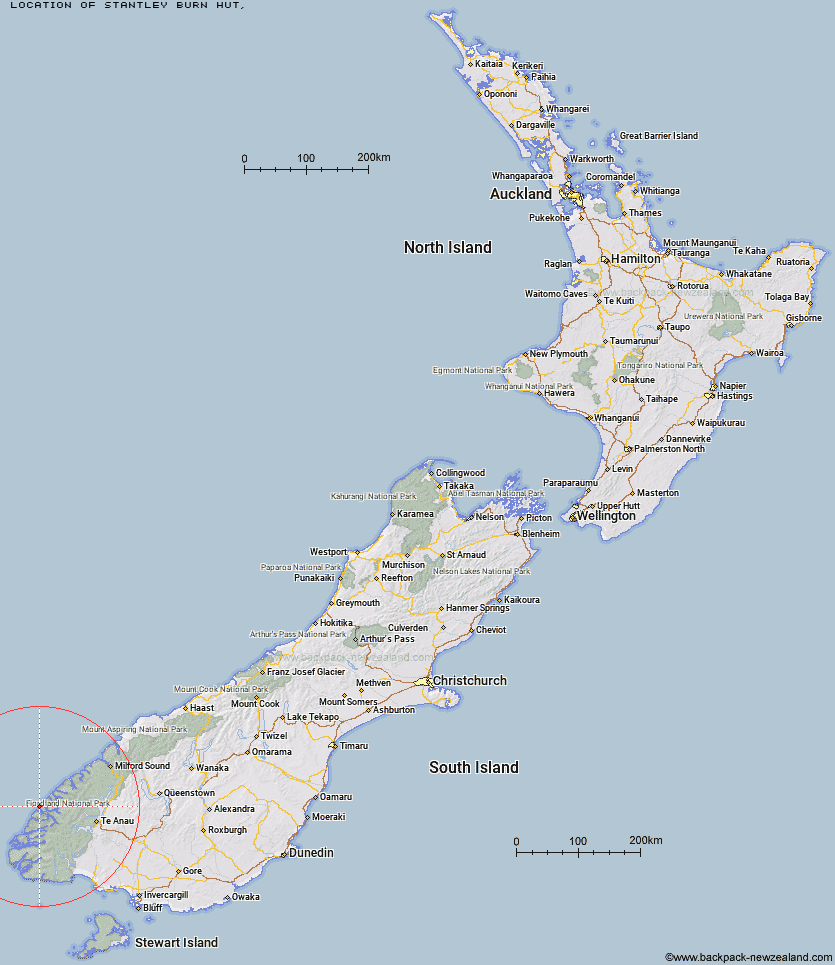
Topo Map showing location of Stantley Burn Hut
This information is sourced from DoC, LINZ and Openstreetmap. Some of the hut photos are mine and the rest are from DoC. I will be adding an upload feature soon so people can photos of .Stantley Burn Hut.
Latitude: -45.220919405
Longitude: 166.884762368
Location:
Type of Hut:
Map: Topo Map | Road Map
Does this hut still exist? Have any more information? Contact
Latitude: -45.220919405
Longitude: 166.884762368
Location:
Type of Hut:
Map: Topo Map | Road Map
Does this hut still exist? Have any more information? Contact
Scroll down to see a topographical map and road map showing the location of Stantley Burn Hut
[ A ] [ B ] [ C ] [ D ] [ E ] [ F ] [ G ] [ H ] [ I ] [ J ] [ K ] [ L ] [ M ] [ N ] [ O ] [ P ] [ Q ] [ R ] [ S ] [ T ] [ U ] [ V ] [ W ] [ Y ] [ Z ]
Closest 20 Huts to Stantley Burn Hut
These are as the crow fliesRocky Point Hut 3.73km Deas Cove Hut 7.7km The Gut Hut 10.01km Robin Saddle Hut 36.73km Caswell Sound Hut 38.42km West Arm Hut 44.96km Upper Spey Hut 45.49km Freeman Burn Hut 45.84km Kintail Hut 47.35km Junction Burn Hut 48.69km George Sound Hut 50.94km Iris Burn Hut 52.71km Percy Shelter 53.39km Loch Maree Hut 53.48km Supper Cove Hut 53.72km Hanging Valley Shelter 54.04km Lake Thomson Hut 55.6km Lake Hankinson Hut 56.81km Forest Burn Shelter 56.91km Lake Roe Hut 57.34km Luxmore Hut 60.28km Halfway Hut 63.21km Moturau Hut 63.71km Shallow Bay Hut 64.43km Brod Bay Shelter and Campsite 65.05km Hope Arm Hut 65.66km Glaisnock Hut 68.37km Back Valley Hut 68.84km Borland Bivouac 69.06km North Borland Hut 69.81km Hauroko Burn Hut 70.78km Historic Clark Hut 71.21km Clark Hut - A Frame 72.45km Green Lake Hut 74.53km Monowai Hut 77.21km Worsley Hut 80.66km Eel Creek Hut 82.37km Rodger Inlet Huts 83.08km Quintin Lodge 83.33km Pompolona Lodge 83.67km