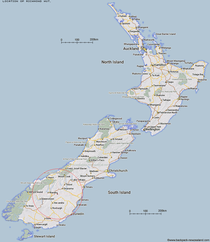
Topo Map showing location of Richmond Hut
This information is sourced from DoC, LINZ and Openstreetmap. Some of the hut photos are mine and the rest are from DoC. I will be adding an upload feature soon so people can photos of .Richmond Hut.
Latitude: -44.7713037641
Longitude: 169.680642278
Location:
Type of Hut:
Map: Topo Map | Road Map
Does this hut still exist? Have any more information? Contact
Latitude: -44.7713037641
Longitude: 169.680642278
Location:
Type of Hut:
Map: Topo Map | Road Map
Does this hut still exist? Have any more information? Contact
Scroll down to see a topographical map and road map showing the location of Richmond Hut
[ A ] [ B ] [ C ] [ D ] [ E ] [ F ] [ G ] [ H ] [ I ] [ J ] [ K ] [ L ] [ M ] [ N ] [ O ] [ P ] [ Q ] [ R ] [ S ] [ T ] [ U ] [ V ] [ W ] [ Y ] [ Z ]
Closest 20 Huts to Richmond Hut
These are as the crow fliesLauder Basin Hut 8.4km Polson's Hut 10.54km Boundary Creek Hut 14.55km Top Hut 14.76km Otamatapaio Hut 26.74km Stodys Hut 31.84km Burnt Bush Hut 32.06km Pakituhi Hut 33.17km Wire Yards Hut 35.5km Top Timaru Hut 36.34km Junction Hut 36.83km Moonlight & Roses Hut 38km Ida Railway Hut 38.6km Mae West Bivouac 39.16km Robrosa Hut 39.94km Chimney Creek Hut 40.43km Kirtle Burn Hut 42.48km Bush Hut 43.87km Tailings Hut 45.23km Cotters Hut 47.3km Hideaway Hut 47.31km Hut Creek Hut 47.76km Brown Hut 47.88km Deep Creek Hut 48.73km Buster Hut 48.91km Awakino Ski Field 49.59km Ben Avon Hut 49.64km Wanaka Faces Hut 49.96km Cairnmuir Musterer's Hut 51.2km Meg Hut 51.78km Sawyer Burn Hut 51.85km Snowy Gorge Hut 54.32km Fern Burn Hut 55.09km Top Dingle Hut 55.45km Ahuriri Base Hut 55.89km High Burn Hut 56.2km Highland Creek Hut 58.32km Big Hopwood Burn Hut 59.27km Green Bush Hut 59.55km Little Boundary Hut 60.72km