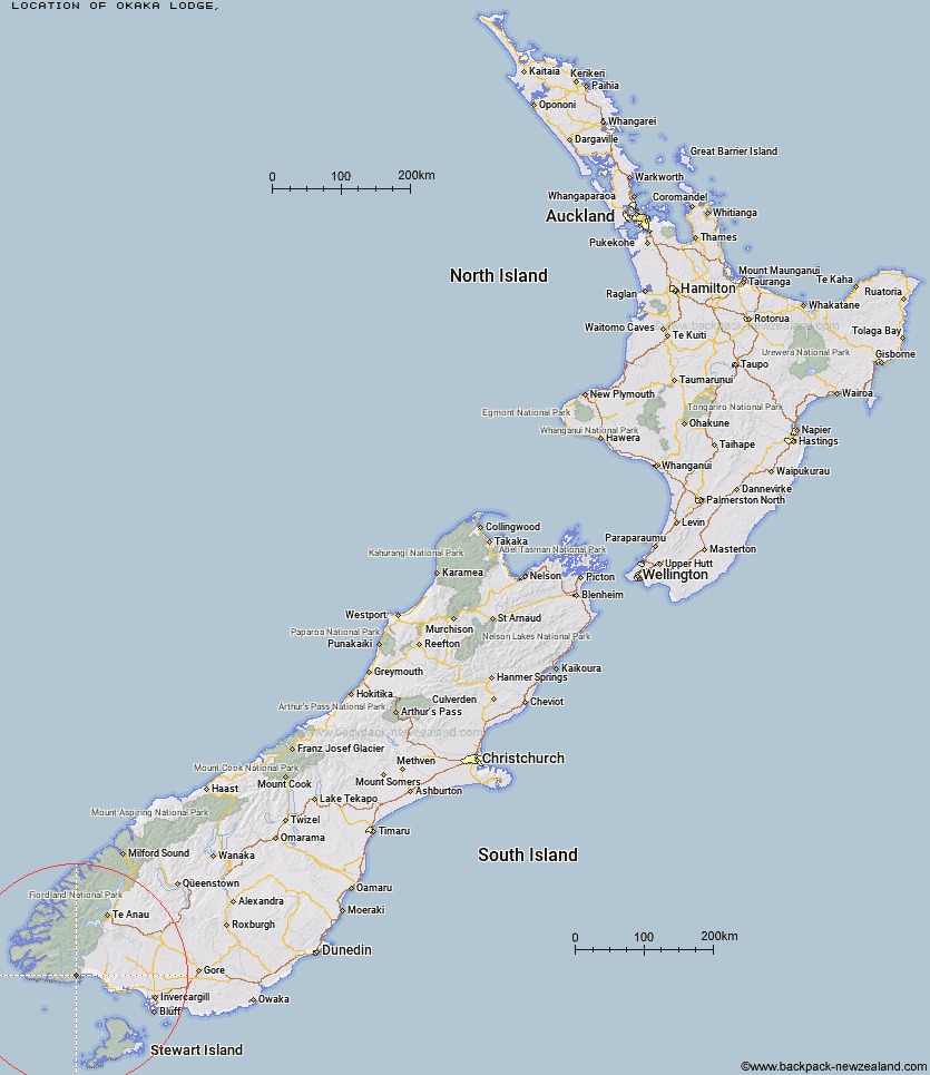
Topo Map showing location of Okaka Lodge
This information is sourced from DoC, LINZ and Openstreetmap. Some of the hut photos are mine and the rest are from DoC. I will be adding an upload feature soon so people can photos of .Okaka Lodge.
Latitude: -46.1590890984
Longitude: 167.310366462
Location:
Type of Hut:
Map: Topo Map | Road Map
Does this hut still exist? Have any more information? Contact
Latitude: -46.1590890984
Longitude: 167.310366462
Location:
Type of Hut:
Map: Topo Map | Road Map
Does this hut still exist? Have any more information? Contact
Scroll down to see a topographical map and road map showing the location of Okaka Lodge
[ A ] [ B ] [ C ] [ D ] [ E ] [ F ] [ G ] [ H ] [ I ] [ J ] [ K ] [ L ] [ M ] [ N ] [ O ] [ P ] [ Q ] [ R ] [ S ] [ T ] [ U ] [ V ] [ W ] [ Y ] [ Z ]
Closest 20 Huts to Okaka Lodge
These are as the crow fliesPort Craig Lodge 8.02km Port Craig School Hut 8.08km Percy Burn Hut 9.16km Teal Bay Hut 10.36km Wairaurahiri Hut 12.74km Lake Poteriteri Hut 13.24km Slaughterburn Hut 19.16km Waitutu Hut 20.91km Caroline Hut 24.3km Westies Hut 28.1km Eel Creek Hut 31.04km Rodger Inlet Huts 35.07km Monowai Hut 36.24km Hauroko Burn Hut 38.68km Clark Hut - A Frame 40.81km Historic Clark Hut 41.65km Green Lake Hut 42.11km Martin's Hut 43.86km Turnbull's (Big Dam) Hut 44.22km Halfway Hut 46.25km Borland Bivouac 46.85km Te Oneroa Hut 49.31km Lake Roe Hut 52.27km Barcoo Hut 53.89km North Borland Hut 54.35km Loch Maree Hut 56.02km Rock Hut 57.14km Supper Cove Hut 58.15km Telford Hut 61.32km Kintail Hut 62.38km Redcliff Hut 63.01km Percy Shelter 63.38km Lower Wairaki Hut 64.45km Upper Wairaki Hut 65.02km Upper Spey Hut 65.36km Back Valley Hut 65.57km Hope Arm Hut 65.77km Spence Hut 66.91km Whare Creek Hut 67.63km Cheviot Downs Hut 69.18km