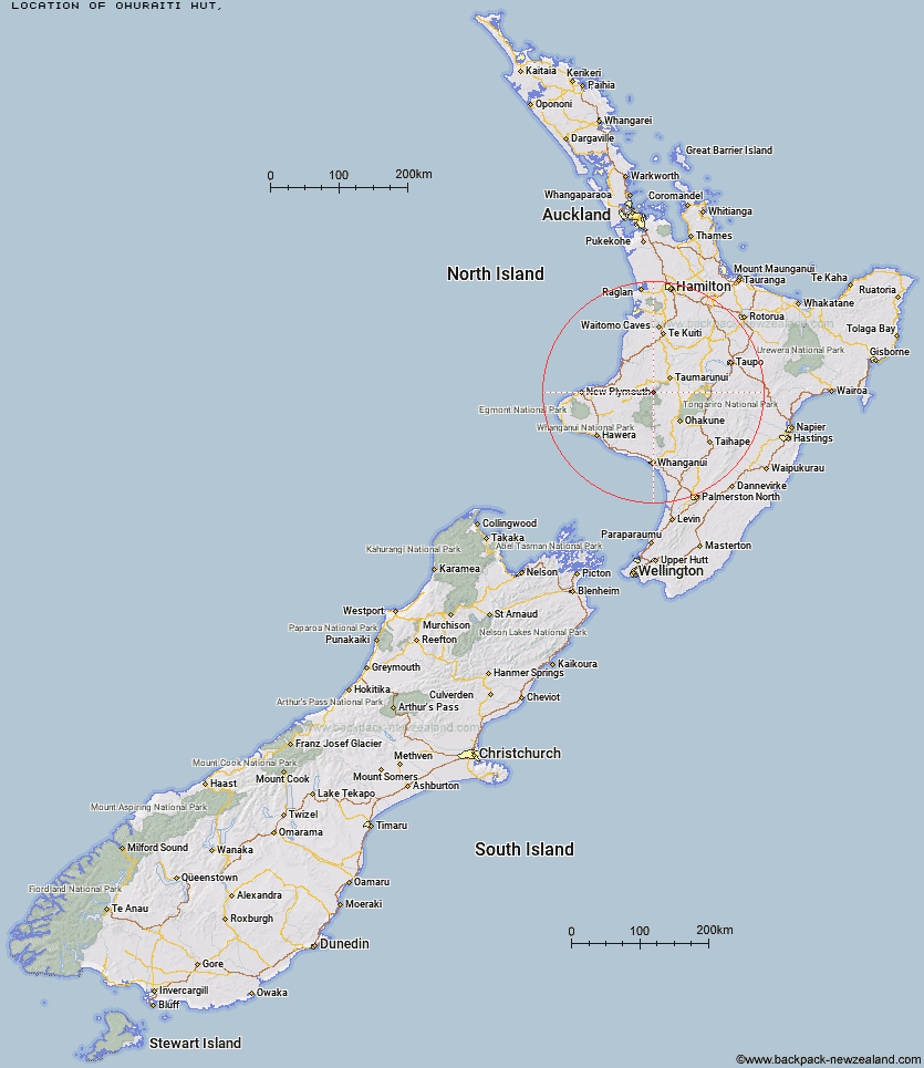
Topo Map showing location of Ohuraiti Hut
This information is sourced from DoC, LINZ and Openstreetmap. Some of the hut photos are mine and the rest are from DoC. I will be adding an upload feature soon so people can photos of .Ohuraiti Hut.
Latitude: -39.0560057514
Longitude: 175.037753441
Location:
Type of Hut:
Map: Topo Map | Road Map
Does this hut still exist? Have any more information? Contact
Latitude: -39.0560057514
Longitude: 175.037753441
Location:
Type of Hut:
Map: Topo Map | Road Map
Does this hut still exist? Have any more information? Contact
Scroll down to see a topographical map and road map showing the location of Ohuraiti Hut
[ A ] [ B ] [ C ] [ D ] [ E ] [ F ] [ G ] [ H ] [ I ] [ J ] [ K ] [ L ] [ M ] [ N ] [ O ] [ P ] [ Q ] [ R ] [ S ] [ T ] [ U ] [ V ] [ W ] [ Y ] [ Z ]
Closest 20 Huts to Ohuraiti Hut
These are as the crow fliesOhuraiti Hut 0km John Coull Hut 22.45km Rerekapa Hut 30.53km Tieke Kainga 31.54km Puketotara Hut 33.07km Omaru Hut 33.95km Pouri Hut 35.18km Ten Man Hut 35.68km Ngapurua Hut 36.74km Puteore Hut 40.88km Whakapapaiti Hut 46.05km Tahupo Hut 47.67km Mangaturuturu Hut 48.14km Mangatepopo Hut 49.23km Lupton Hut 51.86km Blyth Hut 52km Ketetahi Shelter 53.42km Hauhungaroa Hut 53.75km Whangaehu Hut 53.75km Trains Hut 54.03km Mangaehuehu Hut 54.48km Rangipo Hut 57.35km Old Waihohonu Hut 57.35km Oturere Hut 57.36km Waihohonu Hut 57.95km Waihaha Hut 63.14km Leitchs Hut 73.02km Bog Inn Hut 73.39km Downes hut 74.97km Waipakihi Hut 79.8km Zekes Hut 81.42km Westlawn Hut 83.16km Wildlife Hut 83.61km Kaiauai Shelter 84.66km Maketawa Hut 84.72km Waingongoro Hut 85.09km Hooker Shelter 86.89km Bob's Hut 88.37km Syme Hut 88.37km Holly Hut 88.48km