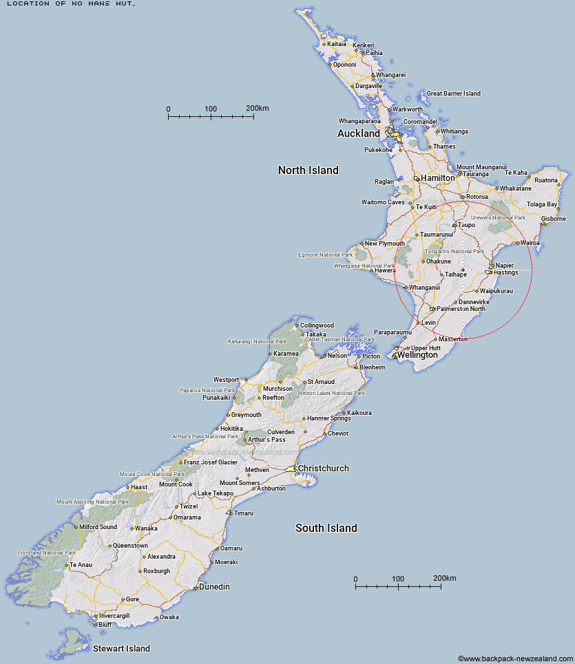
Topo Map showing location of No Mans Hut
This information is sourced from DoC, LINZ and Openstreetmap. Some of the hut photos are mine and the rest are from DoC. I will be adding an upload feature soon so people can photos of .No Mans Hut.
Latitude: -39.5823384713
Longitude: 176.260316883
Location:
Type of Hut:
Map: Topo Map | Road Map
Does this hut still exist? Have any more information? Contact
Latitude: -39.5823384713
Longitude: 176.260316883
Location:
Type of Hut:
Map: Topo Map | Road Map
Does this hut still exist? Have any more information? Contact
Scroll down to see a topographical map and road map showing the location of No Mans Hut
[ A ] [ B ] [ C ] [ D ] [ E ] [ F ] [ G ] [ H ] [ I ] [ J ] [ K ] [ L ] [ M ] [ N ] [ O ] [ P ] [ Q ] [ R ] [ S ] [ T ] [ U ] [ V ] [ W ] [ Y ] [ Z ]
Closest 20 Huts to No Mans Hut
These are as the crow fliesNo Mans Hut 0km Mistake Bivouac 3.22km Dead Dog Hut 3.24km Taruarau Bivouac 4.59km Rockslide Hut 4.71km Dianes Hut 4.87km Ikawetea Forks Hut 5.47km Aranga Hut 5.81km Ruahine Hut 6.22km Herricks Hut 6.42km Makirikiri Hut 6.79km Masters Shelter 7.35km Shutes Hut 8.32km Ruahine Corner Hut 9.33km Sentry Box Hut 9.77km Parks Peak Hut 10.62km Upper Makaroro Hut 11.21km Briens Hut 11.6km Kylie Bivouac 12.02km Cedars Hut (Blowfly) 12.72km Comet Hut 12.92km Tin Hut 13.34km Colenso Hut 14.26km Ellis Hut 14.74km Barlow Hut 15.26km Poutaki Hut 16.83km Iron Bark Hut 18.12km Sparrowhawk Bivouac 18.65km Maropea Forks Hut 19.43km Otukota Hut 20.11km Gold Creek Hut 20.68km Norris Hut 20.82km Wakelings Hut 22.18km Top Maropea Hut 23.08km Lowry Shelter 23.34km Triplex Hut 24.06km Sunrise Hut 24.14km Cameron Hut 24.68km Waipawa Forks Hut 25.14km Crow Hut 25.42km