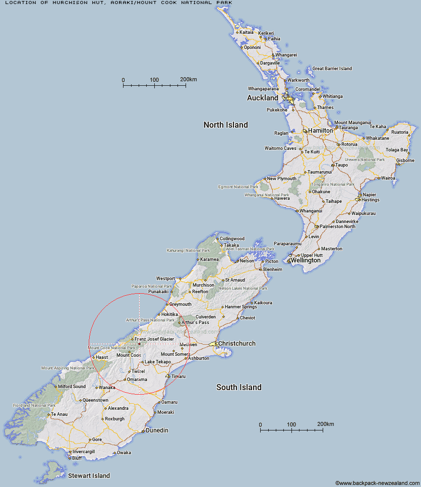
Topo Map showing location of Murchison Hut
This information is sourced from DoC, LINZ and Openstreetmap. Some of the hut photos are mine and the rest are from DoC. I will be adding an upload feature soon so people can photos of .Murchison Hut.
Basic info: This hut is permanently closed.
Latitude: -43.5185270898
Longitude: 170.394352891
Location: Aoraki/Mount Cook National Park
Area: Canterbury
Type of Hut:
Map: BX16 Topo Map | Road Map
Does this hut still exist? Have any more information? Contact
Basic info: This hut is permanently closed.
Latitude: -43.5185270898
Longitude: 170.394352891
Location: Aoraki/Mount Cook National Park
Area: Canterbury
Type of Hut:
Map: BX16 Topo Map | Road Map
Does this hut still exist? Have any more information? Contact
Scroll down to see a topographical map and road map showing the location of Murchison Hut
[ A ] [ B ] [ C ] [ D ] [ E ] [ F ] [ G ] [ H ] [ I ] [ J ] [ K ] [ L ] [ M ] [ N ] [ O ] [ P ] [ Q ] [ R ] [ S ] [ T ] [ U ] [ V ] [ W ] [ Y ] [ Z ]
Closest 20 Huts to Murchison Hut
These are as the crow fliesKelman Hut 2.69km Tasman Saddle Hut 4.26km Eade Memorial Hut 7.06km Whymper Hut 8.7km Red Stag Hut 9.04km Godley Hut 10.28km Rankin Hut 11.39km Top Butler Hut 11.53km Onslow Hut (Steffan Memorial Hut) 12.32km Butler Junction Hut 12.43km Centennial Hut 12.99km Spencer Rock Bivouac 13.55km Liebig Hut 13.99km Almer Hut 15.77km Angus Hut 16.45km Pioneer Hut 17.09km Haast Hut 17.46km Memorial Hut 17.72km Birdcage Hut 18.15km Stan's Hut 18.15km Macaulay Hut 18.2km Plateau Hut 18.43km Castle Rocks Hut 19.74km Hende's Hut 19.9km Nolans Hut 20.19km Ball Hut 20.21km Scone Hut 21.24km Forbes Bivouac 21.32km Carneys Bivvy's 21.76km Caroline Hut 22.23km Ribbonwood Hut 22.87km Chancellor Hut 23.07km Murphys Bivvy 23.52km Empress Hut 23.54km Stony Stream Hut 24.27km Tin Hut 24.49km Mistake Flats Hut 25.38km Saint Winifreds Hut 25.89km Curtis Memorial Hut 26.69km Littles Hut 26.86km