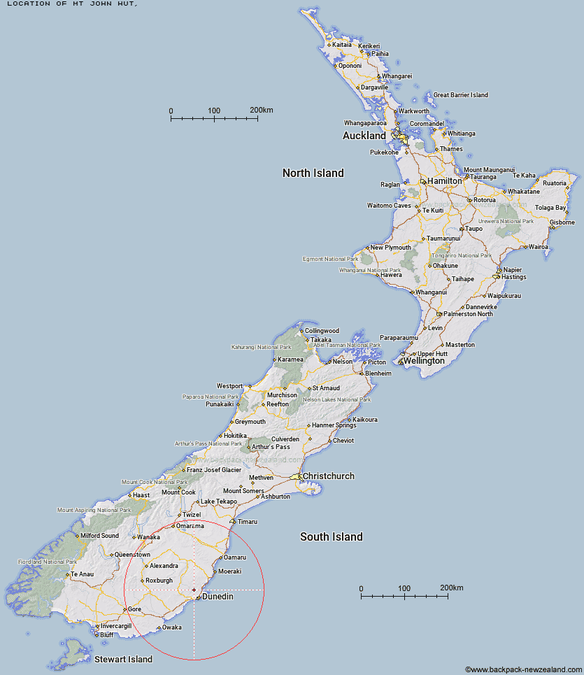
Topo Map showing location of Mt John Hut
This information is sourced from DoC, LINZ and Openstreetmap. Some of the hut photos are mine and the rest are from DoC. I will be adding an upload feature soon so people can photos of .Mt John Hut.
Latitude: -45.7173073655
Longitude: 170.409451336
Location:
Type of Hut:
Map: Topo Map | Road Map
Does this hut still exist? Have any more information? Contact
Latitude: -45.7173073655
Longitude: 170.409451336
Location:
Type of Hut:
Map: Topo Map | Road Map
Does this hut still exist? Have any more information? Contact
Scroll down to see a topographical map and road map showing the location of Mt John Hut
[ A ] [ B ] [ C ] [ D ] [ E ] [ F ] [ G ] [ H ] [ I ] [ J ] [ K ] [ L ] [ M ] [ N ] [ O ] [ P ] [ Q ] [ R ] [ S ] [ T ] [ U ] [ V ] [ W ] [ Y ] [ Z ]
Closest 20 Huts to Mt John Hut
These are as the crow fliesChristmas Creek Hut 2.29km Jubilee Hut 2.4km Poplar Hut 4.54km Possum Hut 6.41km Bendoran Hut 6.73km Philip J Cox Memorial Hut 6.85km Ben Rudds Hut 12.84km Big Hut 40.69km Leaning Lodge 41.57km Howells Hut 41.92km Tent Hut 41.95km The Swamp Hut 47.03km Iron Hut 50.83km Staircase Hut 51.65km Canadian Hut 53.77km Red Hut 55.07km Gentle Annie Hut 56.49km Cayenne Hut 58.71km Bog Hut 58.83km Grays Hut 62.02km Mitchells Hut 62.83km Half Moon Hut 64.65km Mount Hut 64.94km Crumb Hut 68.68km Middle Hut 71.91km Balmoral Huts 78.18km Buster Hut 89.17km Brown Hut 92.85km Tailings Hut 96.68km Junction Hut 98.04km Ida Railway Hut 98.64km Hut Creek Hut 98.82km Wire Yards Hut 99.17km Chimney Creek Hut 101.74km Beaumont Hut 102.52km Nicholsons Hut 103.53km Potters Huts 103.63km Andrew Rees Hut 104.07km Waitaki Huts 104.53km Awakino Ski Field 104.75km