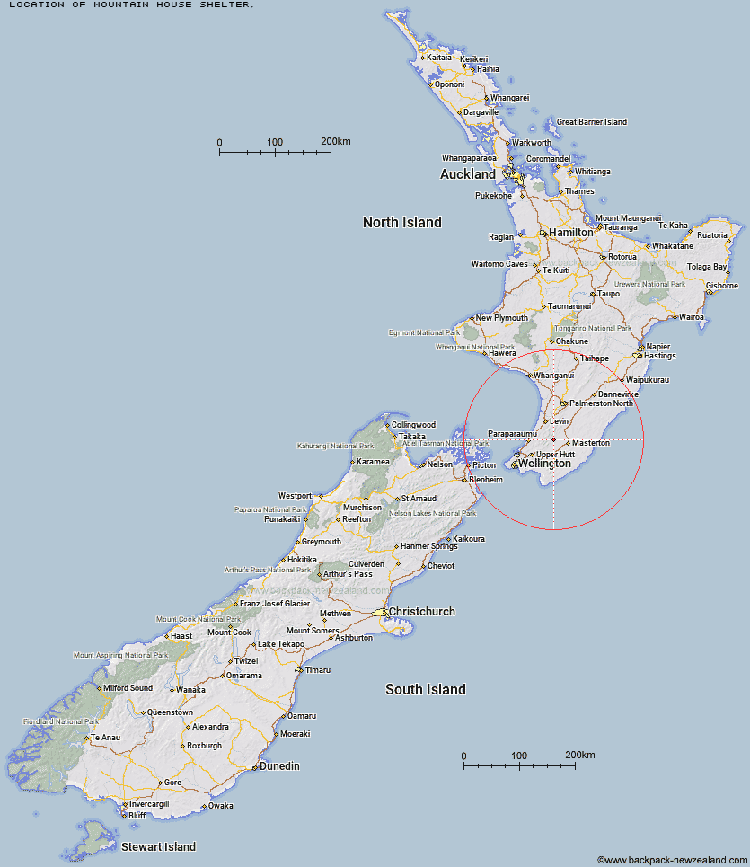
Topo Map showing location of Mountain House Shelter
This information is sourced from DoC, LINZ and Openstreetmap. Some of the hut photos are mine and the rest are from DoC. I will be adding an upload feature soon so people can photos of .Mountain House Shelter.
Latitude: -40.8945881054
Longitude: 175.431654241
Location:
Type of Hut:
Map: Topo Map | Road Map
Does this hut still exist? Have any more information? Contact
Latitude: -40.8945881054
Longitude: 175.431654241
Location:
Type of Hut:
Map: Topo Map | Road Map
Does this hut still exist? Have any more information? Contact
Scroll down to see a topographical map and road map showing the location of Mountain House Shelter
[ A ] [ B ] [ C ] [ D ] [ E ] [ F ] [ G ] [ H ] [ I ] [ J ] [ K ] [ L ] [ M ] [ N ] [ O ] [ P ] [ Q ] [ R ] [ S ] [ T ] [ U ] [ V ] [ W ] [ Y ] [ Z ]
Closest 20 Huts to Mountain House Shelter
These are as the crow fliesPowell Hut 1.25km Atiwhakatu Hut 3.49km Jumbo Hut 4.53km Mid Waiohine Hut 4.79km Totara Flats Hut 4.87km Aokaparangi Hut 6km Sayer Hut 6.57km McGregor Bivouac 7.1km Mid King Bivouac 7.6km Neill Forks Hut 7.64km Mitre Flats Hut 8.15km Anderson Memorial Hut 8.31km Maungahuka Hut 8.44km Dorset Ridge Hut 9.71km Nichols Hut 10.49km Tarn Ridge Hut 11.55km Carkeek Hut 11.98km Penn Creek Hut 12.23km Cone Hut 12.62km Waitewaewae Hut 12.7km Waiohine Shelter 13.02km Blue Range Hut 13.43km Cow Creek Hut 14.02km Dracophyllum Hut 14.34km Kime Hut 14.47km Arete Forks Hut 14.53km Field Hut 14.82km Tutuwai Hut 15.66km Alpha Hut 16.15km Arete Hut 16.25km Te Matawai Hut 17.68km Elder Hut 18.81km Cattle Ridge Hut 19.28km Eastern Hutt Hut 19.68km Waiopehu Hut 19.73km Roaring Stag Hut 19.83km South Ohau Hut 19.95km Dundas Hut 20.01km Waiotauru Hut 21.29km Smith Creek Shelter 21.94km