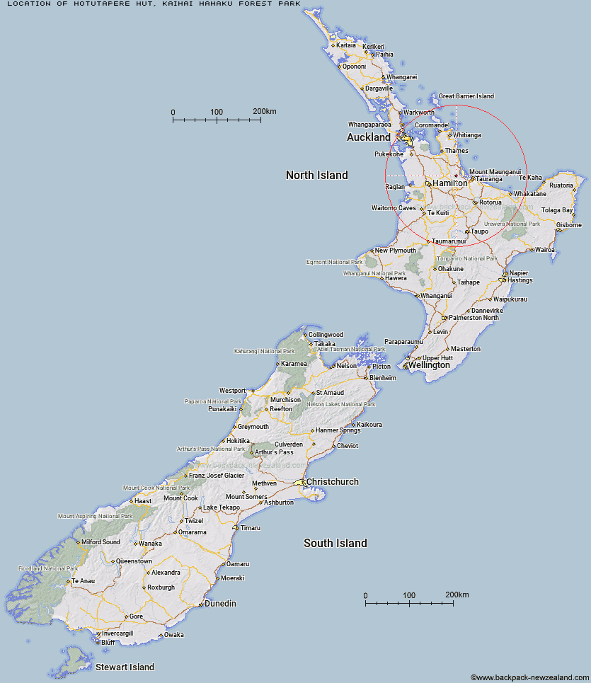
Topo Map showing location of Motutapere Hut
This information is sourced from DoC, LINZ and Openstreetmap. Some of the hut photos are mine and the rest are from DoC. I will be adding an upload feature soon so people can photos of .Motutapere Hut.
Basic info: basic three-bunk hut in the Tauranga area.
Latitude: -37.6220242101
Longitude: 175.840759801
Location: Kaimai Mamaku Forest Park
Area: Bay of Plenty
Type of Hut: Basic/bivvies
Tracks: North-South Track|Tuahu Track
Map: BD35 Topo Map | Road Map
Does this hut still exist? Have any more information? Contact

Image: DoC
Scroll down to see a topographical map and road map showing the location of Motutapere Hut
[ A ] [ B ] [ C ] [ D ] [ E ] [ F ] [ G ] [ H ] [ I ] [ J ] [ K ] [ L ] [ M ] [ N ] [ O ] [ P ] [ Q ] [ R ] [ S ] [ T ] [ U ] [ V ] [ W ] [ Y ] [ Z ]
Closest 20 Huts to Motutapere Hut
These are as the crow fliesTe Rereatukahia Hut 4.1km Kauritatahi Hut 5.11km Wairoa Shelter 8.63km Waitawheta Hut 11.07km Mangakino Shelter 14.37km Daly's Clearing Hut 16.75km Ngamuwahine Shelter 18.47km Mangamuka Hut 19.08km Hurunui Hut 23.06km Pinnacles Hut 65.48km Crosbies Hut 67.45km Pahautea Hut 77.68km Piggotts Hut 84.44km Wairua Hut 85.61km Wildlife Hut 90.6km Hamilton Tomo Group Hut 96.18km Bog Inn Hut 108.47km Waihua Hut 117.25km Mangamako Hut 118.85km Twain (Waipotiki) Hut 119.68km Saddle (Mangaawai) Hut 120.65km Waihaha Hut 121.15km Casino Hut 121.19km Duckville Hut 122.71km Apiti Hut 122.83km Horomanga Base Camp 123.11km Wharekahika Hut 125.81km Hauhungaroa Hut 128.49km Ohora Hut 128.73km Manaohou Right Branch Hut 128.98km Leitchs Hut 129.52km Okui Hut 130.36km Onepu Hut 132.59km Hanamahihi Hut 132.9km Waikare Junction Hut 132.96km Mangapouri Hut 133.64km Ohane Hut 135.61km Ngahiramai Hut 138.83km Takurua Hut 139.78km Tawhiwhi Hut 141.11km