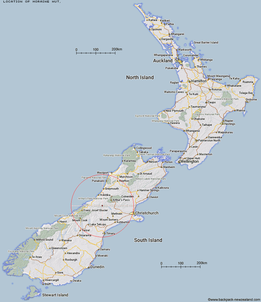
Topo Map showing location of Moraine Hut
This information is sourced from DoC, LINZ and Openstreetmap. Some of the hut photos are mine and the rest are from DoC. I will be adding an upload feature soon so people can photos of .Moraine Hut.
Latitude: -43.1798714409
Longitude: 171.142048538
Location:
Type of Hut:
Map: Topo Map | Road Map
Does this hut still exist? Have any more information? Contact
Latitude: -43.1798714409
Longitude: 171.142048538
Location:
Type of Hut:
Map: Topo Map | Road Map
Does this hut still exist? Have any more information? Contact
Scroll down to see a topographical map and road map showing the location of Moraine Hut
[ A ] [ B ] [ C ] [ D ] [ E ] [ F ] [ G ] [ H ] [ I ] [ J ] [ K ] [ L ] [ M ] [ N ] [ O ] [ P ] [ Q ] [ R ] [ S ] [ T ] [ U ] [ V ] [ W ] [ Y ] [ Z ]
Closest 20 Huts to Moraine Hut
These are as the crow fliesMathias Hut 1.18km Centennial Cabin 1.42km West Mathias Bivouac 4.5km Canyon Creek Bivouac 8.08km Moa Stream Hut 11.15km Jellicoe Hut 11.46km Frew Saddle Bivouac 12.16km Wilkinson Hut 12.61km Evans Hut 12.64km Neave Hut 12.94km Price Flat Hut 13.4km Sir Robert Hut 13.52km Price Flat Hut 13.61km Washbourne Hut 14.55km Bluff Hut 14.85km Banfield Hut 14.92km Thompsons Hut 15.06km Price Basin Hut 15.46km Poet Hut 16.02km Frew Hut 16.56km Unknown Stream Hut 16.57km Moa Hut 16.62km Frisco Hut 16.67km Downs Hut 17.06km Lauper Bivouac 17.4km Toaroha Saddle Bivouac 17.43km Mungo Hut 17.68km Manuels Hut 18.01km Reischek Hut 18.21km Top Toaroha Hut 18.54km Serpentine Hut 19.19km Ivory Lake Hut 19.21km Fanghill Hut 19.43km Crystal Bivouac 20.42km Mullins Hut 20.42km Weka Burnet Bivouac 21.26km Rapid Creek Hut 21.54km Urquhart's Hut 21.56km Yeats Ridge Hut 21.75km Top Waitaha Hut 22.2km