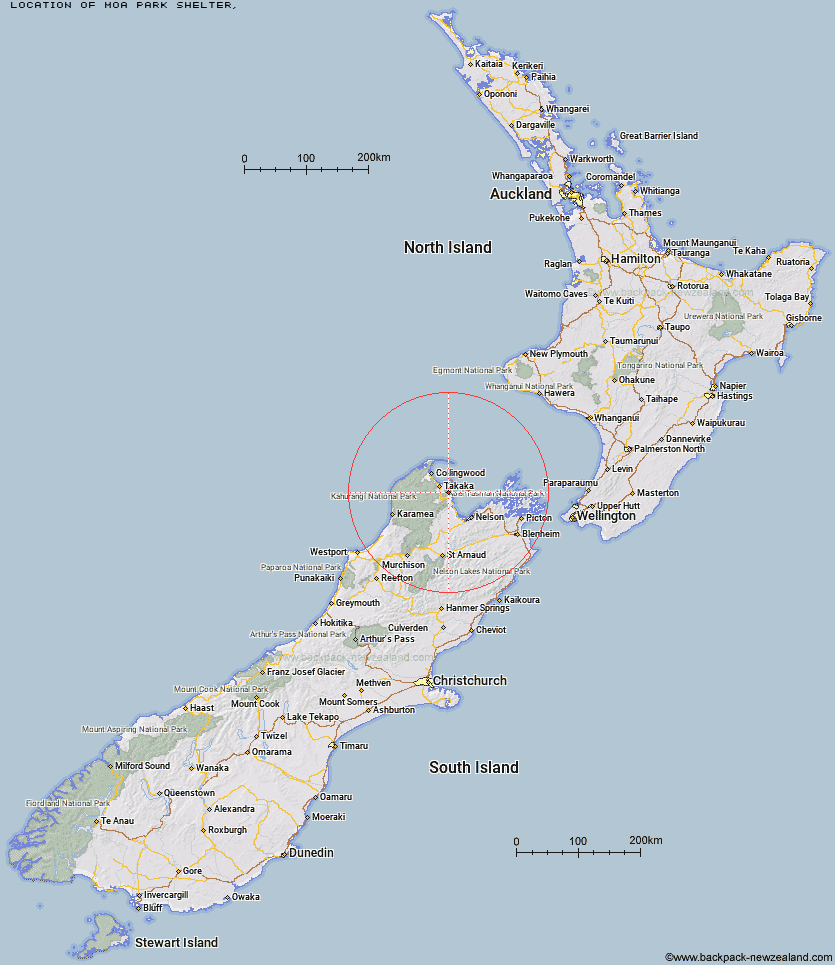
Topo Map showing location of Moa Park Shelter
This information is sourced from DoC, LINZ and Openstreetmap. Some of the hut photos are mine and the rest are from DoC. I will be adding an upload feature soon so people can photos of .Moa Park Shelter.
Latitude: -40.9382533814
Longitude: 172.936094287
Location:
Type of Hut:
Map: Topo Map | Road Map
Does this hut still exist? Have any more information? Contact
Latitude: -40.9382533814
Longitude: 172.936094287
Location:
Type of Hut:
Map: Topo Map | Road Map
Does this hut still exist? Have any more information? Contact
Scroll down to see a topographical map and road map showing the location of Moa Park Shelter
[ A ] [ B ] [ C ] [ D ] [ E ] [ F ] [ G ] [ H ] [ I ] [ J ] [ K ] [ L ] [ M ] [ N ] [ O ] [ P ] [ Q ] [ R ] [ S ] [ T ] [ U ] [ V ] [ W ] [ Y ] [ Z ]
Closest 20 Huts to Moa Park Shelter
These are as the crow fliesWainui Hut 2.97km Castle Rock Hut 3km Holyoake Clearing Shelter 6.22km Awapoto Hut 8.39km Bark Bay Hut 9.77km Anchorage Hut 10.42km Awaroa Hut 10.62km Whariwharangi Hut 16.9km Tin Hut Shelter 17.09km Riordans Hut 20.13km Waingaro Forks Hut 25.01km Anatoki Forks Hut 27.54km Soper Shelter 29.47km Asbestos Cottage 29.54km Boulder Lake Hut 30.32km Sylvester Hut 30.78km Lonely Lake Hut 32.13km Flora Hut 32.2km Upper Gridiron Hut and Rock Shelters 32.72km Adelaide Tarn Hut 32.99km Growler Rock Shelter 33.56km Mt Arthur Hut 34.26km Myttons Hut 34.32km Trilobite Hut 34.75km Chaffey Hut 35.25km Dry Rock Shelter 35.27km Tent Camp 36.43km Fenella Hut 36.64km Balloon Hut 36.75km Cobb Hut 36.89km Ellis Hut 39.36km Splugeons Rock Shelter 40.44km Brown Hut 42.23km Perry Saddle Hut 44.99km Flanagans Hut 47.02km Karamea Bend Hut 48.42km Gouland Downs Hut 49.26km Roaring Lion Hut 51.07km Saxon Hut 53.08km Third House Shelter 53.96km