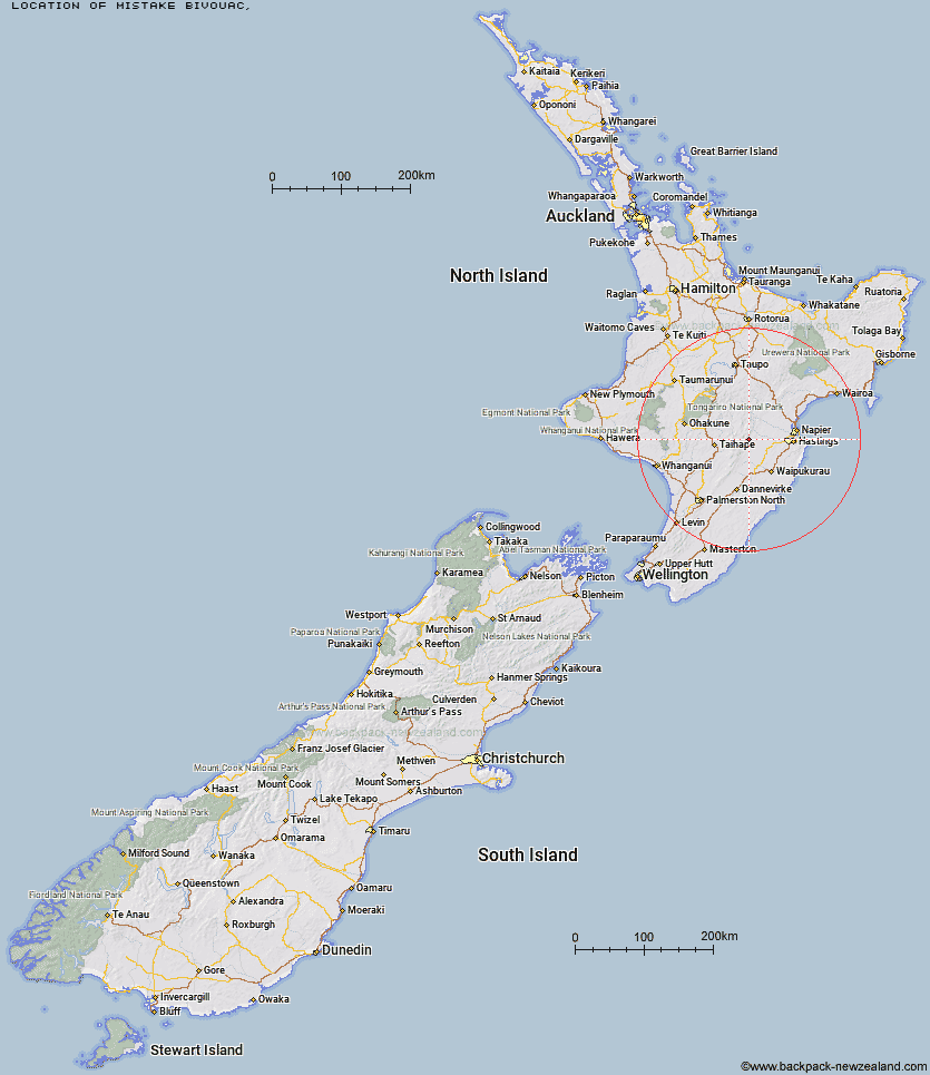
Topo Map showing location of Mistake Bivouac
This information is sourced from DoC, LINZ and Openstreetmap. Some of the hut photos are mine and the rest are from DoC. I will be adding an upload feature soon so people can photos of .Mistake Bivouac.
Latitude: -39.6099060239
Longitude: 176.248931997
Location:
Type of Hut:
Map: Topo Map | Road Map
Does this hut still exist? Have any more information? Contact
Latitude: -39.6099060239
Longitude: 176.248931997
Location:
Type of Hut:
Map: Topo Map | Road Map
Does this hut still exist? Have any more information? Contact
Scroll down to see a topographical map and road map showing the location of Mistake Bivouac
[ A ] [ B ] [ C ] [ D ] [ E ] [ F ] [ G ] [ H ] [ I ] [ J ] [ K ] [ L ] [ M ] [ N ] [ O ] [ P ] [ Q ] [ R ] [ S ] [ T ] [ U ] [ V ] [ W ] [ Y ] [ Z ]
Closest 20 Huts to Mistake Bivouac
These are as the crow fliesRockslide Hut 2.08km Aranga Hut 2.75km No Mans Hut 3.22km Ikawetea Forks Hut 4.93km Dead Dog Hut 5.47km Masters Shelter 6.55km Ruahine Corner Hut 7.02km Sentry Box Hut 7.1km Makirikiri Hut 7.24km Parks Peak Hut 7.52km Herricks Hut 7.72km Taruarau Bivouac 7.79km Upper Makaroro Hut 8km Dianes Hut 8.07km Ruahine Hut 8.78km Kylie Bivouac 8.84km Briens Hut 10.06km Tin Hut 11.13km Colenso Hut 11.53km Shutes Hut 11.53km Ellis Hut 11.9km Barlow Hut 12.04km Poutaki Hut 14.27km Cedars Hut (Blowfly) 14.88km Sparrowhawk Bivouac 15.44km Iron Bark Hut 15.59km Comet Hut 16.12km Maropea Forks Hut 16.34km Otukota Hut 17.4km Gold Creek Hut 17.46km Norris Hut 17.69km Wakelings Hut 19.05km Top Maropea Hut 19.88km Triplex Hut 20.86km Sunrise Hut 20.92km Waipawa Forks Hut 21.93km Crow Hut 22.39km McKinnon Hut 23.21km Kawhatau Base 24.3km Waikamaka Hut 24.49km