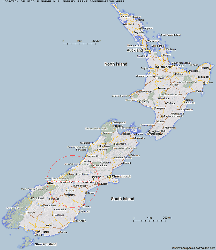
Topo Map showing location of Middle Gorge Hut
This information is sourced from DoC, LINZ and Openstreetmap. Some of the hut photos are mine and the rest are from DoC. I will be adding an upload feature soon so people can photos of .Middle Gorge Hut.
Basic info: standard six-bunk hut on the true left bank of the Mistake River near Lake Tekapo.
Latitude: -43.7649805278
Longitude: 170.462155244
Location: Godley Peaks Conservation Area
Area: Canterbury
Type of Hut: Standard
Map: BY16 Topo Map | Road Map
Does this hut still exist? Have any more information? Contact
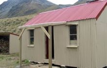
Image: DoC
Scroll down to see a topographical map and road map showing the location of Middle Gorge Hut
[ A ] [ B ] [ C ] [ D ] [ E ] [ F ] [ G ] [ H ] [ I ] [ J ] [ K ] [ L ] [ M ] [ N ] [ O ] [ P ] [ Q ] [ R ] [ S ] [ T ] [ U ] [ V ] [ W ] [ Y ] [ Z ]
Closest 20 Huts to Middle Gorge Hut
These are as the crow fliesMiddle Gorge Hut 0km Ryders Hut 4.15km Tin Hut 5.93km Waterfall Hut 6.86km Ribbonwood Hut 7.46km Birdcage Hut 10.96km Memorial Hut 11.54km Angus Hut 12.32km Rex Simpson Hut 13.62km Camp Stream Hut 15.35km Littles Hut 15.83km Stony Stream Hut 16.4km Green Point Hut 18.08km Rankin Hut 18.12km Liebig Hut 19.44km Onslow Hut (Steffan Memorial Hut) 21.33km Royal Hut 22.29km Jollie Hut 23.29km Macaulay Hut 23.45km Red Stag Hut 25.21km South Opuha Hut 25.52km Maryburn Hut 25.7km Telegraph Hut 25.82km Stone Hut 26.32km Ball Hut 26.81km Eade Memorial Hut 27.36km Caroline Hut 27.47km Murchison Hut 27.94km Kelman Hut 28.51km Felt Hut 29.03km Haast Hut 29.43km Tasman Saddle Hut 29.56km Plateau Hut 30.11km Stocking Stream Shelter 30.24km Crooked Spur Hut 30.65km Copland Shelter 31.68km Godley Hut 31.89km Sefton Bivvy 32.21km Mueller Hut 32.27km Empress Hut 33.29km