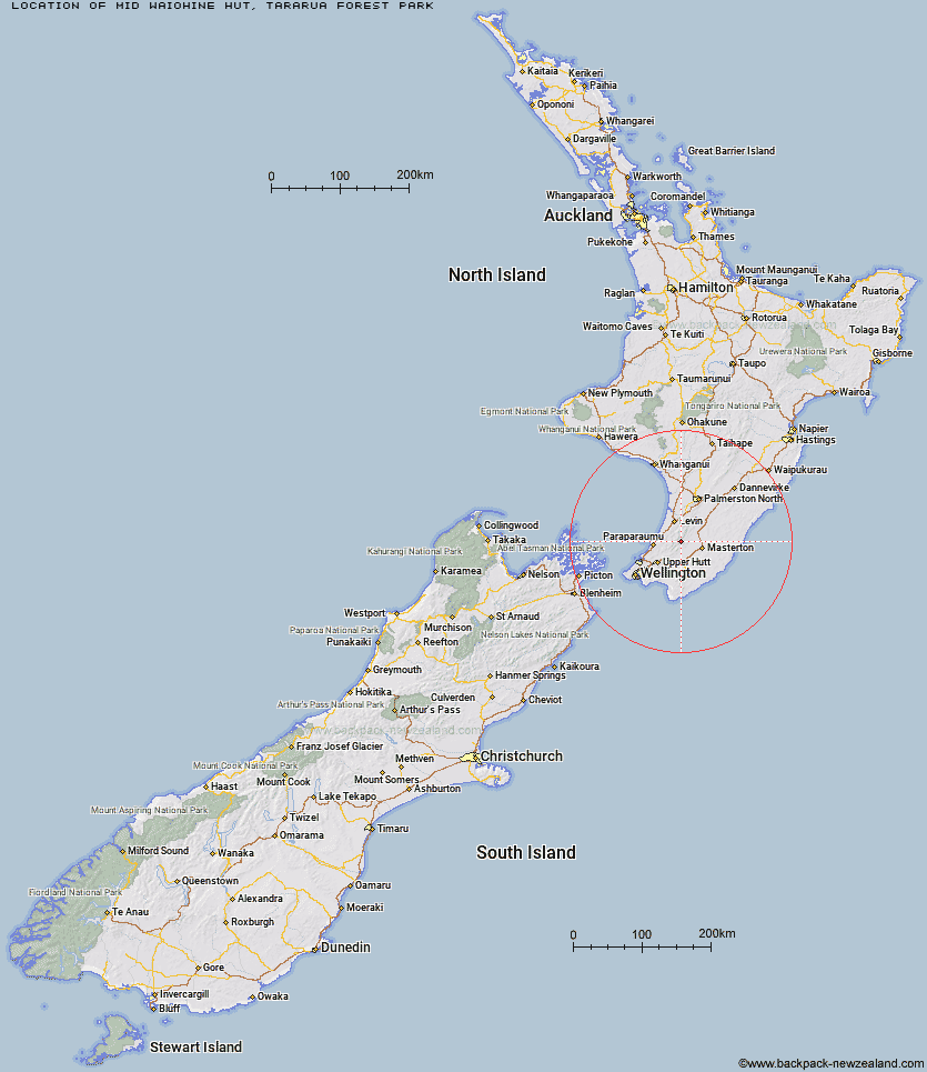
Topo Map showing location of Mid Waiohine Hut
This information is sourced from DoC, LINZ and Openstreetmap. Some of the hut photos are mine and the rest are from DoC. I will be adding an upload feature soon so people can photos of .Mid Waiohine Hut.
Basic info: standard six-bunk hut in the Wairarapa region.
Latitude: -40.8740295233
Longitude: 175.38161695
Location: Tararua Forest Park
Area: Wairarapa
Type of Hut: Standard
Map: Topo Map | Road Map
Does this hut still exist? Have any more information? Contact
Basic info: standard six-bunk hut in the Wairarapa region.
Latitude: -40.8740295233
Longitude: 175.38161695
Location: Tararua Forest Park
Area: Wairarapa
Type of Hut: Standard
Map: Topo Map | Road Map
Does this hut still exist? Have any more information? Contact

Image: DoC
Scroll down to see a topographical map and road map showing the location of Mid Waiohine Hut
[ A ] [ B ] [ C ] [ D ] [ E ] [ F ] [ G ] [ H ] [ I ] [ J ] [ K ] [ L ] [ M ] [ N ] [ O ] [ P ] [ Q ] [ R ] [ S ] [ T ] [ U ] [ V ] [ W ] [ Y ] [ Z ]
Closest 20 Huts to Mid Waiohine Hut
These are as the crow fliesAokaparangi Hut 2.67km Anderson Memorial Hut 3.74km Powell Hut 3.77km Mountain House Shelter 4.79km McGregor Bivouac 5.21km Jumbo Hut 5.36km Maungahuka Hut 5.84km Atiwhakatu Hut 6.13km Totara Flats Hut 6.77km Neill Forks Hut 6.87km Nichols Hut 7.11km Mid King Bivouac 7.64km Waitewaewae Hut 7.94km Sayer Hut 8.12km Dorset Ridge Hut 8.15km Penn Creek Hut 8.57km Carkeek Hut 9.4km Mitre Flats Hut 9.49km Tarn Ridge Hut 10.33km Field Hut 11.19km Dracophyllum Hut 11.63km Kime Hut 11.99km Cone Hut 12.96km Arete Forks Hut 13.61km Cow Creek Hut 14.2km Blue Range Hut 14.61km Arete Hut 14.71km Waiohine Shelter 14.88km Alpha Hut 14.98km Te Matawai Hut 15.25km Tutuwai Hut 15.86km Waiopehu Hut 16.55km Elder Hut 16.6km South Ohau Hut 17.36km Waiotauru Hut 18.02km Eastern Hutt Hut 18.75km Dundas Hut 18.9km Cattle Ridge Hut 19.02km Kapakapanui Hut 19.6km North Ohau Hut 19.77km