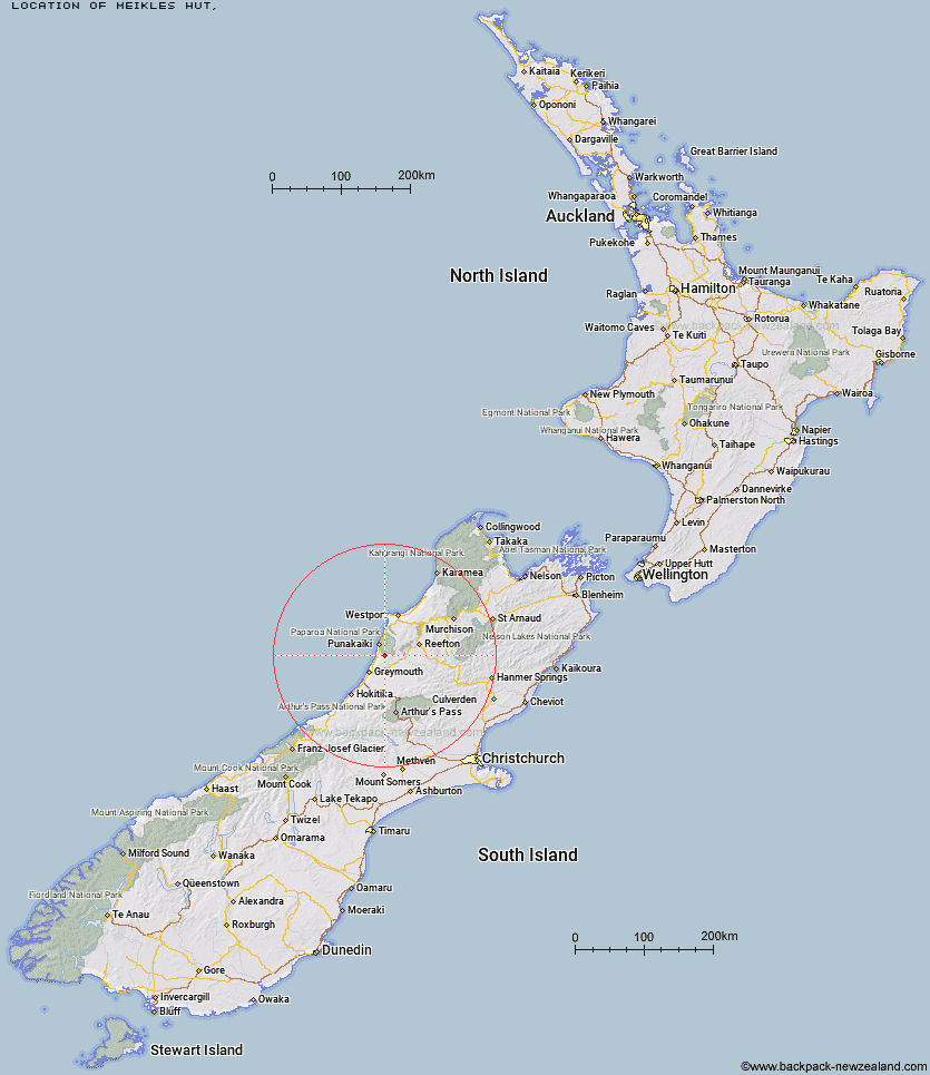
Topo Map showing location of Meikles Hut
This information is sourced from DoC, LINZ and Openstreetmap. Some of the hut photos are mine and the rest are from DoC. I will be adding an upload feature soon so people can photos of .Meikles Hut.
Latitude: -42.2522582144
Longitude: 171.415574267
Location:
Type of Hut:
Map: Topo Map | Road Map
Does this hut still exist? Have any more information? Contact
Latitude: -42.2522582144
Longitude: 171.415574267
Location:
Type of Hut:
Map: Topo Map | Road Map
Does this hut still exist? Have any more information? Contact
Scroll down to see a topographical map and road map showing the location of Meikles Hut
[ A ] [ B ] [ C ] [ D ] [ E ] [ F ] [ G ] [ H ] [ I ] [ J ] [ K ] [ L ] [ M ] [ N ] [ O ] [ P ] [ Q ] [ R ] [ S ] [ T ] [ U ] [ V ] [ W ] [ Y ] [ Z ]
Closest 20 Huts to Meikles Hut
These are as the crow fliesMeikles Hut 0km Garden Gully Hut 4.29km Croesus Top Hut 4.93km Ces Clark Hut 5.03km Jim's Flat Hut 32.87km Big River Hut 39.29km Buckland Peaks Hut 45.56km Montgomerie Hut 49.27km Lake Morgan Hut 51.68km Kirwans Hut 51.71km Camp Creek Hut 51.85km Jacko Flat Hut 53.66km Waikiti Hut 54km Cone Creek Hut 54.46km Top Crooked Hut 55.12km Elizabeth Hut 57.12km Top Waitahu Bivouac 57.26km Lake Stream Hut 58.98km Dillons Homestead Hut 59.34km Rocky Creek Bivouac 59.41km Dillon Hut 59.65km Top Trent / Lagoon Hut 60.4km Griffin Creek Hut 60.72km Tutaekuri Hut 60.86km Carroll Hut 60.89km Mid Robinson Hut 61.42km Scottys Bivouac 61.7km Kiwi Hut 62.22km Wheel Creek Hut 62.39km Mid Trent Hut 62.51km Top Olderog Bivouac 63.67km Slaty Creek Hut 63.87km Locke Stream Hut 63.99km Pfeifer Bivouac 64.6km Dunns Creek Hut 64.77km Townsend Hut 65.19km Newton Creek Hut 65.57km Harper Pass Bivouac 65.72km Lower Olderog Bivouac 65.76km Hunts Creek Hut 65.82km