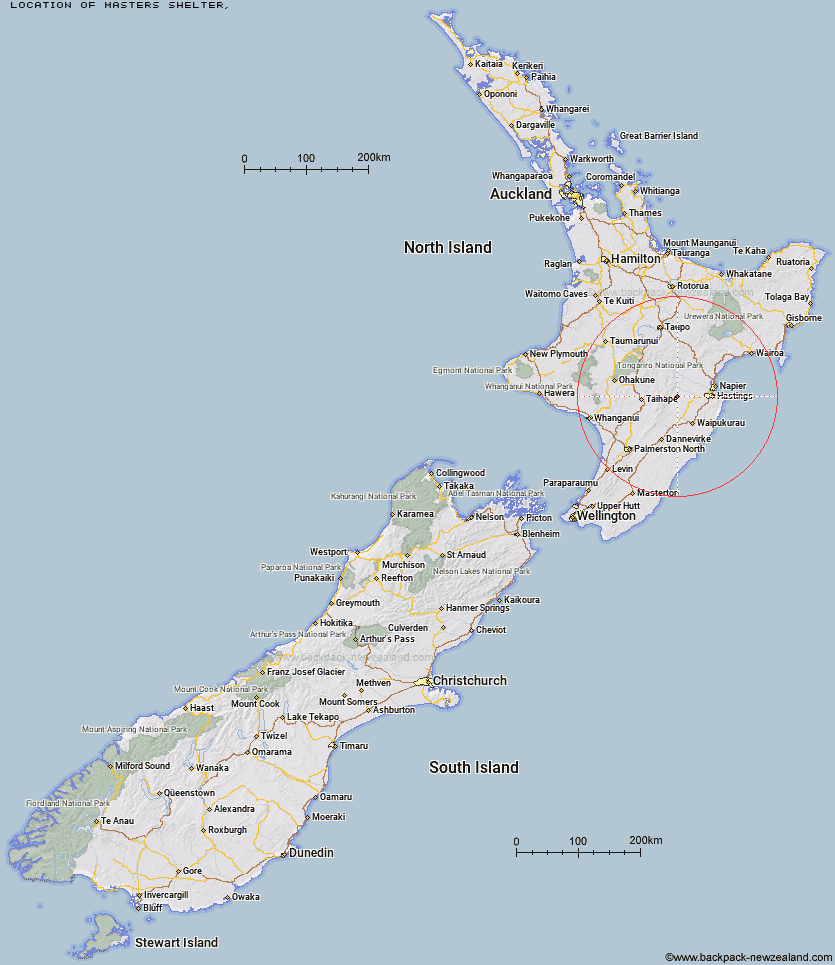
Topo Map showing location of Masters Shelter
This information is sourced from DoC, LINZ and Openstreetmap. Some of the hut photos are mine and the rest are from DoC. I will be adding an upload feature soon so people can photos of .Masters Shelter.
Latitude: -39.6286336488
Longitude: 176.321496651
Location:
Type of Hut:
Map: Topo Map | Road Map
Does this hut still exist? Have any more information? Contact
Latitude: -39.6286336488
Longitude: 176.321496651
Location:
Type of Hut:
Map: Topo Map | Road Map
Does this hut still exist? Have any more information? Contact
Scroll down to see a topographical map and road map showing the location of Masters Shelter
[ A ] [ B ] [ C ] [ D ] [ E ] [ F ] [ G ] [ H ] [ I ] [ J ] [ K ] [ L ] [ M ] [ N ] [ O ] [ P ] [ Q ] [ R ] [ S ] [ T ] [ U ] [ V ] [ W ] [ Y ] [ Z ]
Closest 20 Huts to Masters Shelter
These are as the crow fliesMasters Shelter 0km Briens Hut 4.49km Herricks Hut 4.57km Sentry Box Hut 5.64km Aranga Hut 5.85km Dead Dog Hut 5.98km Mistake Bivouac 6.55km Tin Hut 7.06km No Mans Hut 7.35km Ruahine Hut 7.97km Parks Peak Hut 8.15km Rockslide Hut 8.35km Upper Makaroro Hut 9.81km Ellis Hut 10.08km Dianes Hut 10.14km Taruarau Bivouac 10.7km Poutaki Hut 11.04km Ikawetea Forks Hut 11.46km Kylie Bivouac 11.89km Ruahine Corner Hut 12.82km Shutes Hut 13.23km Barlow Hut 13.36km Makirikiri Hut 13.59km Colenso Hut 16.2km Norris Hut 17.12km Sparrowhawk Bivouac 17.21km Comet Hut 18.02km Gold Creek Hut 18.23km Maropea Forks Hut 19.28km Cedars Hut (Blowfly) 20km Iron Bark Hut 20.46km Triplex Hut 21.14km Top Maropea Hut 21.41km Wakelings Hut 21.58km Otukota Hut 21.8km Sunrise Hut 22.01km Waipawa Forks Hut 22.68km Crow Hut 25.41km Lowry Shelter 25.69km McKinnon Hut 25.8km