Topo Map showing location of Lupton Hut
This information is sourced from DoC, LINZ and Openstreetmap. Some of the hut photos are mine and the rest are from DoC. I will be adding an upload feature soon so people can photos of .Lupton Hut.
Basic info: basic eight-bunk hut in the Ruapehu area.
Latitude: -39.3327865422
Longitude: 175.522177696
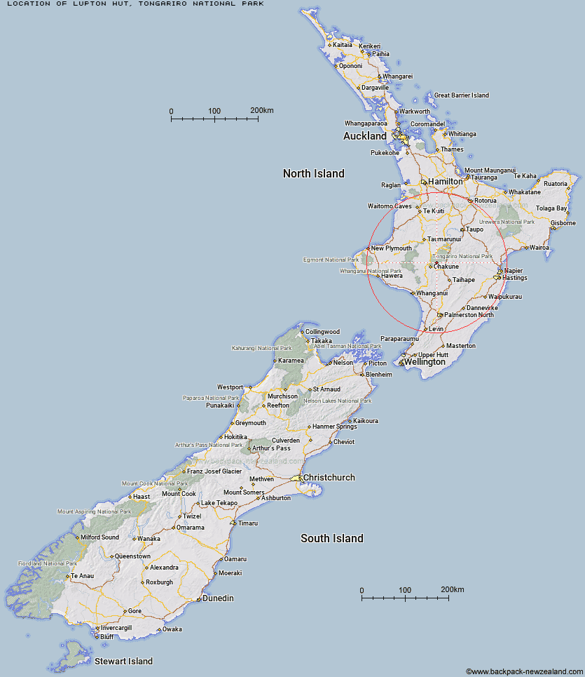
Location: Tongariro National Park
Area: Central North Island
Type of Hut: Basic/bivvies
Map: BJ34 Topo Map | Road Map
Does this hut still exist? Have any more information? Contact
Basic info: basic eight-bunk hut in the Ruapehu area.
Latitude: -39.3327865422
Longitude: 175.522177696
Location: Tongariro National Park
Area: Central North Island
Type of Hut: Basic/bivvies
Map: BJ34 Topo Map | Road Map
Does this hut still exist? Have any more information? Contact
Scroll down to see a topographical map and road map showing the location of Lupton Hut
[ A ] [ B ] [ C ] [ D ] [ E ] [ F ] [ G ] [ H ] [ I ] [ J ] [ K ] [ L ] [ M ] [ N ] [ O ] [ P ] [ Q ] [ R ] [ S ] [ T ] [ U ] [ V ] [ W ] [ Y ] [ Z ]
Closest 20 Huts to Lupton Hut
These are as the crow fliesBlyth Hut 0.27km Mangaehuehu Hut 2.66km Mangaturuturu Hut 4.35km Whangaehu Hut 8km Rangipo Hut 9.47km Whakapapaiti Hut 10.58km Old Waihohonu Hut 18.87km Waihohonu Hut 19.29km Mangatepopo Hut 21.88km Oturere Hut 24.12km Ketetahi Shelter 27.42km Zekes Hut 30.12km Westlawn Hut 31.68km Ten Man Hut 35.73km Bob's Hut 39.8km Waipakihi Hut 44.16km Tieke Kainga 45.5km Puketotara Hut 46.96km Te Apunga Hut 49.35km Ohuraiti Hut 51.86km Ngapurua Hut 52.94km John Coull Hut 53.54km Downes hut 55.12km Golden Hills Hut 56.03km WTFRW Hut 56.99km Pouri Hut 57.71km Cedars Hut (Blowfly) 58.64km Cascade Hut 59.39km Otutu Island Hut 59.93km Rock Camp Bivouac 61.23km Otutu Hut 61.51km Iron Bark Hut 62.45km Tussock Hut 62.52km Makirikiri Hut 62.53km Puteore Hut 63.11km Ngaawapurua Hut 63.51km Otukota Hut 63.57km Harkness Hut 63.59km Manson Hut 63.6km Old Manson Hut 63.85km