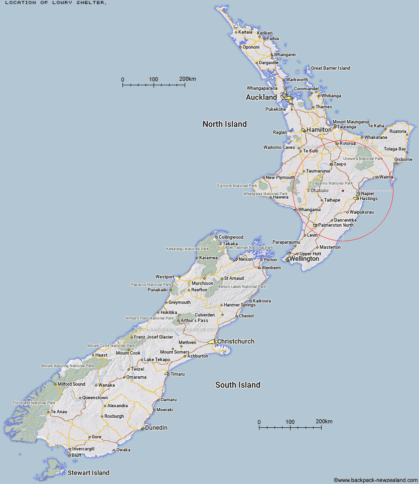
Topo Map showing location of Lowry Shelter
This information is sourced from DoC, LINZ and Openstreetmap. Some of the hut photos are mine and the rest are from DoC. I will be adding an upload feature soon so people can photos of .Lowry Shelter.
Latitude: -39.4087158327
Longitude: 176.413229583
Location:
Type of Hut:
Map: Topo Map | Road Map
Does this hut still exist? Have any more information? Contact
Latitude: -39.4087158327
Longitude: 176.413229583
Location:
Type of Hut:
Map: Topo Map | Road Map
Does this hut still exist? Have any more information? Contact
Scroll down to see a topographical map and road map showing the location of Lowry Shelter
[ A ] [ B ] [ C ] [ D ] [ E ] [ F ] [ G ] [ H ] [ I ] [ J ] [ K ] [ L ] [ M ] [ N ] [ O ] [ P ] [ Q ] [ R ] [ S ] [ T ] [ U ] [ V ] [ W ] [ Y ] [ Z ]
Closest 20 Huts to Lowry Shelter
These are as the crow fliesMackintosh Hut 8.93km Kiwi Saddle Hut 11.57km Cameron Hut 11.65km Black Birch Bivouac 12.08km Studholme Saddle Bivouac 12.24km Comet Hut 12.51km Studholme Saddle Hut 12.69km Makahu Saddle Hut 13.55km Dominie Hut 14.35km Kiwi Mouth Hut 14.76km Back Ridge Bivouac 15.03km Shutes Hut 15.45km Back Ridge Hut 15.46km Kaweka Flats Bivouac 16.3km Manson Bivouac 16.39km Iron Whare 17.02km Rock Camp Bivouac 17.26km Rocks Ahead Hut 17.88km Old Manson Hut 17.92km Rocks Ahead Bivouac 17.94km Ruahine Hut 18.15km Manson Hut 18.17km Dianes Hut 18.58km Taruarau Bivouac 19.3km Ballard Hut 19.35km Venison Tops Hut (Tira Lodge) 19.61km Middle Hill Hut 20.2km Omarukokere Bivouac 20.5km Herricks Hut 21.12km Dead Dog Hut 21.29km Otutu Hut 21.59km Mangaturutu Hut 22.26km Cedars Hut (Blowfly) 22.4km Otutu Island Hut 23.07km No Mans Hut 23.34km Ngaawapurua Hut 24km Makino Hut 24.37km Masters Shelter 25.69km Mistake Bivouac 26.44km Makirikiri Hut 26.63km