Topo Map showing location of Lower Windley Hut
This information is sourced from DoC, LINZ and Openstreetmap. Some of the hut photos are mine and the rest are from DoC. I will be adding an upload feature soon so people can photos of .Lower Windley Hut.
Basic info: basic two-bunk hut in the Southland area.
Latitude: -45.5067568228
Longitude: 168.195974099
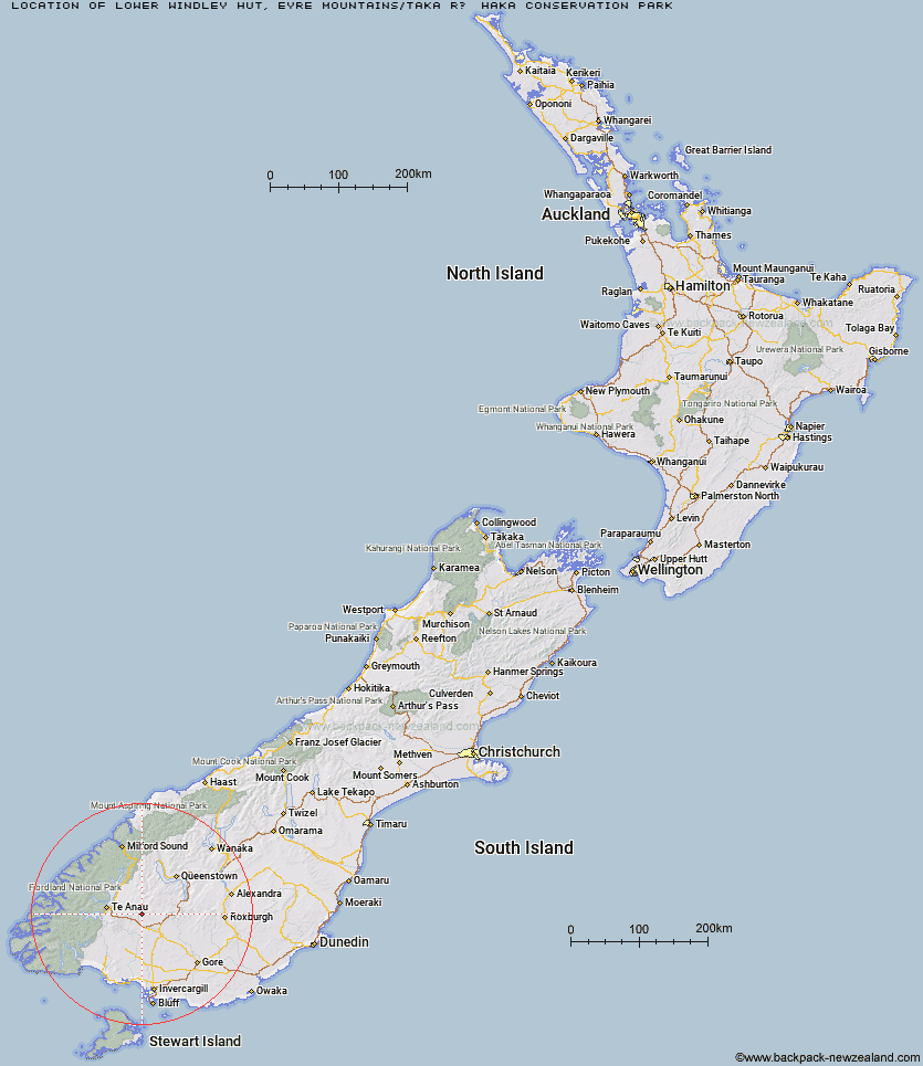
Location: Eyre Mountains/Taka Rā Haka Conservation Park
Area: Southland
Type of Hut: Basic/bivvies
Tracks: Eyre Mountains/Taka Ra Haka routes
Map: CD09 Topo Map | Road Map
Does this hut still exist? Have any more information? Contact
Basic info: basic two-bunk hut in the Southland area.
Latitude: -45.5067568228
Longitude: 168.195974099
Location: Eyre Mountains/Taka Rā Haka Conservation Park
Area: Southland
Type of Hut: Basic/bivvies
Tracks: Eyre Mountains/Taka Ra Haka routes
Map: CD09 Topo Map | Road Map
Does this hut still exist? Have any more information? Contact
Scroll down to see a topographical map and road map showing the location of Lower Windley Hut
[ A ] [ B ] [ C ] [ D ] [ E ] [ F ] [ G ] [ H ] [ I ] [ J ] [ K ] [ L ] [ M ] [ N ] [ O ] [ P ] [ Q ] [ R ] [ S ] [ T ] [ U ] [ V ] [ W ] [ Y ] [ Z ]
Closest 20 Huts to Lower Windley Hut
These are as the crow fliesOreti Hut 6.07km Islands Hut 8.48km Upper Windley Hut 8.55km Upper Cromel Hut 12.29km Cromel Base Hut 12.8km Lincoln Hut 12.81km Cromel Branch Hut 13.32km Mt Bee Bunkrooms 13.9km Upper Oreti Hut 14.69km Ashton Hut 14.75km Irthing Hut 16.13km Mansion Hut 17.8km Kiwi Burn Hut 18.75km Lower Princhester Hut 21.35km Shepherd Creek Hut 21.65km Becketts Hut 22.32km Dog Box Bivouac 22.43km Upper Princhester Hut 25.44km Cowshed Hut 26.25km Aparima Huts 27.04km Aparima Forks Hut 27.63km Army Hut 30.56km Spence Hut 33.12km West Burn Hut 33.58km Whare Creek Hut 33.9km Upper Wairaki Hut 34.82km Cheviot Downs Hut 34.85km Careys Hut 35.5km Billy Hut 35.74km Lower Wairaki Hut 36.25km Redcliff Hut 37.29km Saint Marys Hut 37.92km Telford Hut 38.55km Ross Hut 39.59km Mitchells Hut 40.08km Boundary Hut 40.83km Brod Bay Shelter and Campsite 42.23km Mud Hut 42.36km Siberia Hut 42.8km Slate Hut 43.44km