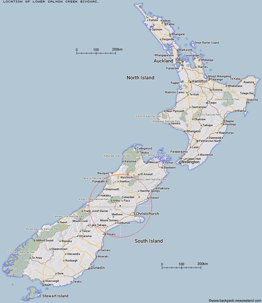
Topo Map showing location of Lower Salmon Creek Bivouac
This information is sourced from DoC, LINZ and Openstreetmap. Some of the hut photos are mine and the rest are from DoC. I will be adding an upload feature soon so people can photos of .Lower Salmon Creek Bivouac.
Latitude: -43.1616975233
Longitude: 171.980458727
Location:
Type of Hut:
Map: Topo Map | Road Map
Does this hut still exist? Have any more information? Contact
Latitude: -43.1616975233
Longitude: 171.980458727
Location:
Type of Hut:
Map: Topo Map | Road Map
Does this hut still exist? Have any more information? Contact
Scroll down to see a topographical map and road map showing the location of Lower Salmon Creek Bivouac
[ A ] [ B ] [ C ] [ D ] [ E ] [ F ] [ G ] [ H ] [ I ] [ J ] [ K ] [ L ] [ M ] [ N ] [ O ] [ P ] [ Q ] [ R ] [ S ] [ T ] [ U ] [ V ] [ W ] [ Y ] [ Z ]
Closest 20 Huts to Lower Salmon Creek Bivouac
These are as the crow fliesBlack Hill Hut 2.86km Walker Hut 4.3km Hamilton Hut 4.94km Puketeraki Bivouac 5.55km Wharfedale Hut 6.3km Rosa Hut 6.57km Petticoat Junction Hut 6.82km Kinnebrooks Hut 7.54km Broken River Hut 12.11km Adams Hut 16.31km Lilburne Hut 16.5km Tarn Hut 19.35km Youngman Stream Hut 22.37km Turnbull Bivouac 23.6km Andrews Shelter 24.07km Riversdale Hut 24.29km Cass Saddle Hut 24.48km Bob's Camp Bivouac 25.33km Lochinvar Hut 25.37km Anna Hut 27.03km Hawdon Shelter 27.08km Hamilton Hut 28.67km Pinchgut Hut 29.18km Benmore Hut 29.33km Bull Creek Hut 29.88km Cattle Creek Hut 30.59km Ant Stream Hut 30.73km Bealey Hut 30.77km West Harper Hut 31.08km Anderson's Hut 32.28km Sudden Valley Bivouac 32.53km Lagoon Saddle A Frame Hut 32.95km Lagoon Saddle Hut 33.01km East Hawdon Bivouac 33.51km Ant Stream Bivouac 34.05km Hawdon Hut 34.38km Ranger Bivouac 34.71km Esk Bivouac 35.54km Trust/Poulter Hut 35.92km Bealey Spur Hut 36.28km