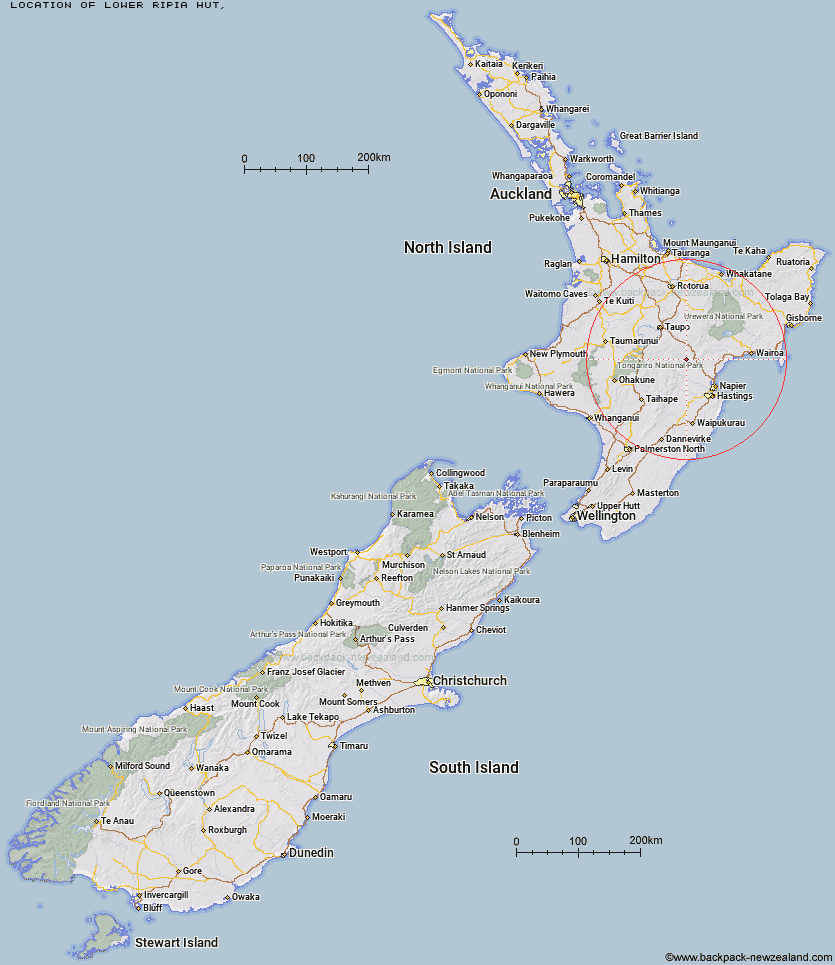
Topo Map showing location of Lower Ripia Hut
This information is sourced from DoC, LINZ and Openstreetmap. Some of the hut photos are mine and the rest are from DoC. I will be adding an upload feature soon so people can photos of .Lower Ripia Hut.
Latitude: -39.1296303884
Longitude: 176.464926337
Location:
Type of Hut:
Map: Topo Map | Road Map
Does this hut still exist? Have any more information? Contact
Latitude: -39.1296303884
Longitude: 176.464926337
Location:
Type of Hut:
Map: Topo Map | Road Map
Does this hut still exist? Have any more information? Contact
Scroll down to see a topographical map and road map showing the location of Lower Ripia Hut
[ A ] [ B ] [ C ] [ D ] [ E ] [ F ] [ G ] [ H ] [ I ] [ J ] [ K ] [ L ] [ M ] [ N ] [ O ] [ P ] [ Q ] [ R ] [ S ] [ T ] [ U ] [ V ] [ W ] [ Y ] [ Z ]
Closest 20 Huts to Lower Ripia Hut
These are as the crow fliesUpper Ripia Hut 2.7km Te Matai Hut 4.65km Ernie's Creek Hut 5.4km Tevers Hut 5.81km Upper Toropapa Hut 6.19km Makino Hut 8.3km Middle Hill Hut 11.35km Lower Ohane Hut 12.83km Iron Whare 14.39km Ballard Hut 14.58km Mangatainoka Hut 14.9km Kaweka Flats Bivouac 15.31km Mangaturutu Hut 15.32km Red Hut 15.34km East Creek Hut 15.59km Poronui Hut 17.29km Te Puke (Te Pukeohikarua) Hut 17.72km Dominie Hut 17.86km Venison Tops Hut (Tira Lodge) 17.98km Makahu Saddle Hut 18.17km Oamaru Hut 18.29km Back Ridge Hut 18.85km Black Birch Bivouac 19.28km Omarukokere Bivouac 20.04km Harkness Hut 20.79km Studholme Saddle Hut 20.94km Back Ridge Bivouac 21.15km Studholme Saddle Bivouac 21.42km Rocks Ahead Hut 21.76km Galbraith Hut 21.82km Rocks Ahead Bivouac 21.85km Tussock Hut 21.89km Ngaawapurua Hut 21.94km Mackintosh Hut 22.89km Manson Bivouac 24.04km Lower Matakuhia Hut 24.63km Halfway Hut 25.4km Old Manson Hut 25.48km Manson Hut 25.59km Otutu Hut 25.61km