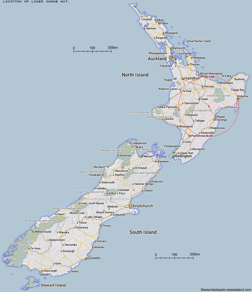
Topo Map showing location of Lower Ohane Hut
This information is sourced from DoC, LINZ and Openstreetmap. Some of the hut photos are mine and the rest are from DoC. I will be adding an upload feature soon so people can photos of .Lower Ohane Hut.
Latitude: -39.0257837502
Longitude: 176.529788341
Location:
Type of Hut:
Map: Topo Map | Road Map
Does this hut still exist? Have any more information? Contact
Latitude: -39.0257837502
Longitude: 176.529788341
Location:
Type of Hut:
Map: Topo Map | Road Map
Does this hut still exist? Have any more information? Contact
Scroll down to see a topographical map and road map showing the location of Lower Ohane Hut
[ A ] [ B ] [ C ] [ D ] [ E ] [ F ] [ G ] [ H ] [ I ] [ J ] [ K ] [ L ] [ M ] [ N ] [ O ] [ P ] [ Q ] [ R ] [ S ] [ T ] [ U ] [ V ] [ W ] [ Y ] [ Z ]
Closest 20 Huts to Lower Ohane Hut
These are as the crow fliesUpper Toropapa Hut 6.73km Lower Matakuhia Hut 11.81km Upper Ripia Hut 12.08km Halfway Hut 12.68km Lower Ripia Hut 12.83km Ernie's Creek Hut 13.19km Tevers Hut 14.19km Te Matai Hut 14.42km Upper Matakuhia Hut 15.7km Red Hut 20.37km Makino Hut 21.05km Galbraith Hut 21.2km East Creek Hut 21.7km Poronui Hut 22.29km Oamaru Hut 23.54km Middle Hill Hut 24.11km Mangatainoka Hut 24.33km Upper Te Hoe Hut 26.43km Upper Whirinaki Hut 26.75km Iron Whare 27.02km Central Te Hoe Hut 27.04km Ballard Hut 27.34km Mangaturutu Hut 27.57km Kaweka Flats Bivouac 28.03km Te Puke (Te Pukeohikarua) Hut 28.72km Central Whirinaki Hut 30.29km Venison Tops Hut (Tira Lodge) 30.46km Dominie Hut 30.65km Makahu Saddle Hut 30.88km Tussock Hut 31.27km Harkness Hut 31.38km Back Ridge Hut 31.67km Black Birch Bivouac 31.69km Mangakahika Hut 32.18km Omarukokere Bivouac 32.29km Mangamate Hut 33.04km Ngaawapurua Hut 33.52km Studholme Saddle Hut 33.77km Back Ridge Bivouac 33.93km Studholme Saddle Bivouac 34.24km