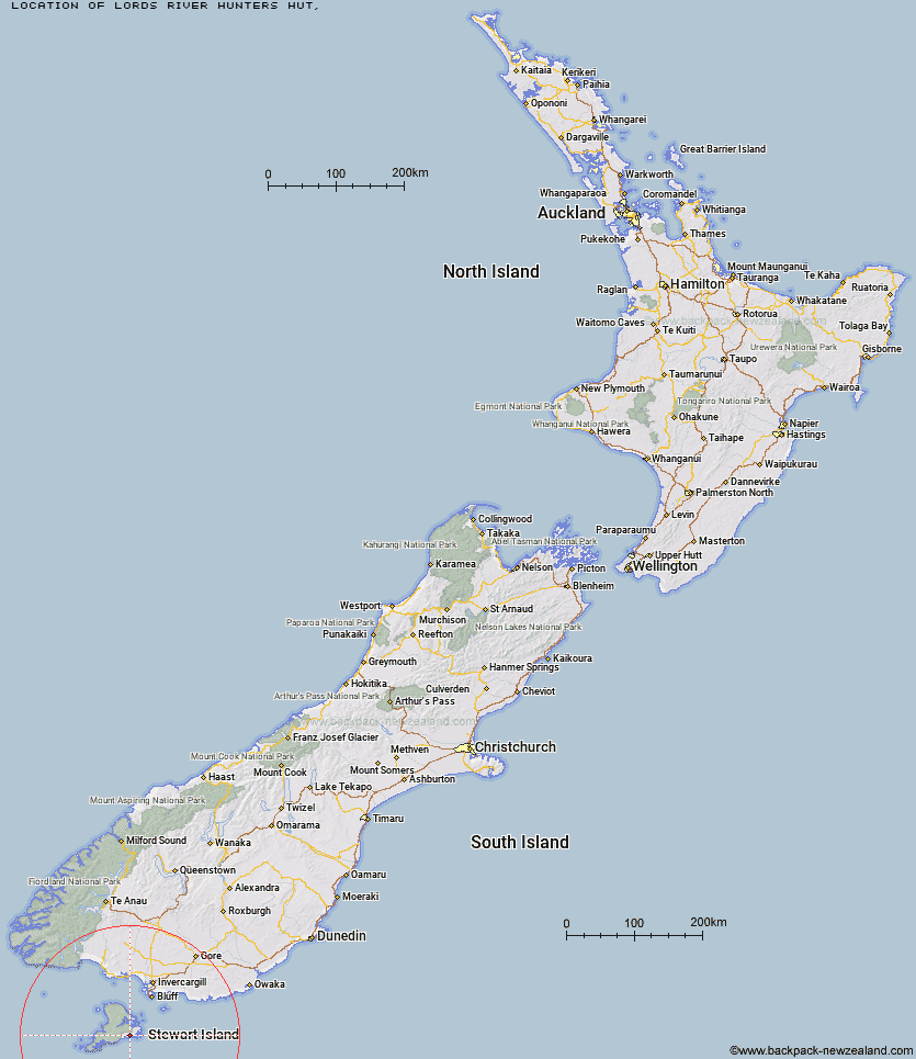
Topo Map showing location of Lords River Hunters Hut
This information is sourced from DoC, LINZ and Openstreetmap. Some of the hut photos are mine and the rest are from DoC. I will be adding an upload feature soon so people can photos of .Lords River Hunters Hut.
Latitude: -47.0750107444
Longitude: 168.049903091
Location:
Type of Hut:
Map: Topo Map | Road Map
Does this hut still exist? Have any more information? Contact
Latitude: -47.0750107444
Longitude: 168.049903091
Location:
Type of Hut:
Map: Topo Map | Road Map
Does this hut still exist? Have any more information? Contact
Scroll down to see a topographical map and road map showing the location of Lords River Hunters Hut
[ A ] [ B ] [ C ] [ D ] [ E ] [ F ] [ G ] [ H ] [ I ] [ J ] [ K ] [ L ] [ M ] [ N ] [ O ] [ P ] [ Q ] [ R ] [ S ] [ T ] [ U ] [ V ] [ W ] [ Y ] [ Z ]
Closest 20 Huts to Lords River Hunters Hut
These are as the crow fliesNorth Tikotatahi Hunters Hut 7.83km Kellys Hunters Hut 9.21km Port Adventure Hunters Hut 10.01km Hapuatuna Hunters Hut 13.48km Little Glory Hunters Hut 13.7km Chew Tobacco Hunters Hut 14.02km North Big Glory Hunters Hut 14.11km Abrahams Bay Hunters Hut 14.27km South West Arm Hunters Hut 16.28km Rakeahua Hut 16.46km Freds Camp Hut 17.19km North Arm Hut 21.45km Freshwater Hut 25.01km Island Hill Run Deer Pen 25.6km Homestead Hunters Hut 25.73km Mason Bay Hut 26.29km Doughboy Bay Hut 26.46km Martins Creek Hunters Hut 26.62km Port William Hut 26.75km Cavalier Hunters Hut 27.76km Bungaree Hut 29.6km North Pegasus Hunters Hut 32.09km Murray River Hunters Hut 32.85km South Pegasus Hunters Hut 34.1km Christmas Village Hunters Hut 36.44km Christmas Village Hut 37.21km Big Hellfire Hut 37.41km Yankee River Hut 44.03km Smoky Hunters Hut 44.43km East Ruggedy Hut 45.39km Long Harry Hut 46.16km Turnbull's (Big Dam) Hut 88.4km Martin's Hut 91.45km Port Craig School Hut 108.38km Port Craig Lodge 108.44km Percy Burn Hut 108.73km Wairaurahiri Hut 111.23km Tautuku Hut 113.02km Okaka Lodge 116.46km Waitutu Hut 119.79km