Topo Map showing location of George Lyon Hut
This information is sourced from DoC, LINZ and Openstreetmap. Some of the hut photos are mine and the rest are from DoC. I will be adding an upload feature soon so people can photos of .George Lyon Hut.
Basic info: standard 16-bunk hut in the Nelson Lakes area.
Latitude: -42.0474639681
Longitude: 172.605117971
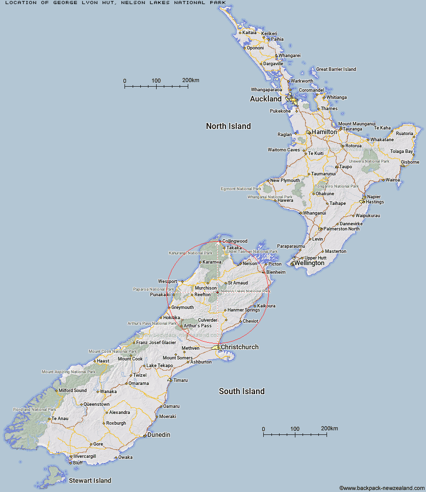
Location: Nelson Lakes National Park
Area: Nelson/Tasman
Type of Hut: Standard
Map: BS24 Topo Map | Road Map
Does this hut still exist? Have any more information? Contact
Basic info: standard 16-bunk hut in the Nelson Lakes area.
Latitude: -42.0474639681
Longitude: 172.605117971
Location: Nelson Lakes National Park
Area: Nelson/Tasman
Type of Hut: Standard
Map: BS24 Topo Map | Road Map
Does this hut still exist? Have any more information? Contact

Image: DoC
Scroll down to see a topographical map and road map showing the location of George Lyon Hut
[ A ] [ B ] [ C ] [ D ] [ E ] [ F ] [ G ] [ H ] [ I ] [ J ] [ K ] [ L ] [ M ] [ N ] [ O ] [ P ] [ Q ] [ R ] [ S ] [ T ] [ U ] [ V ] [ W ] [ Y ] [ Z ]
Closest 20 Huts to George Lyon Hut
These are as the crow fliesBlue Lake Hut 4.3km Upper D'Urville Hut 6.76km Morgan Hut 7.51km West Sabine Hut 7.86km Matakitaki Base Hut 7.9km Mole Hut 9.96km Downie Hut 11.62km Upper Travers Hut 12.33km Caroline Creek Bivouac 12.64km Cupola Hut 13.49km Mount Misery Hut 13.71km Paske Hut 14.23km Nardoo Hut 15.44km Tiraumea Hut 15.64km John Tait Hut 15.74km Begley Hut 16.08km D'Urville Hut 16.14km East Matakitaki Hut 16.7km Sabine Hut 17.45km Burn Creek Hut 17.69km Hopeless Hut 18.06km Island Gully Hut 21.29km Angelus Hut 21.3km Bobs Hut 21.92km Connors Creek Hut 23.6km Speargrass Hut 24.91km Lakehead Hut 26.21km Sedgemere Sleepout 26.22km Coldwater Hut 26.36km Christopher Cullers Hut 26.5km Lake Guyon Hut 26.88km Christopher Hut 27km Relax Shelter 29.03km Bushedge Shelter 29.43km Bushline Hut 29.57km Stanley Vale Hut 30.21km Ada Pass Hut 31.07km Fowlers Hut 32.37km Lees Creek Hut 32.67km Cannibal Gorge Hut 34.23km