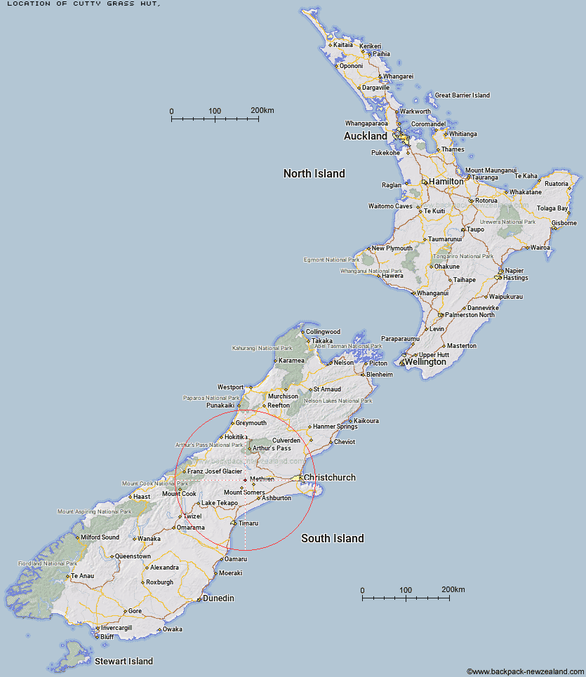
Topo Map showing location of Cutty Grass Hut
This information is sourced from DoC, LINZ and Openstreetmap. Some of the hut photos are mine and the rest are from DoC. I will be adding an upload feature soon so people can photos of .Cutty Grass Hut.
Latitude: -43.5529227517
Longitude: 171.473158807
Location:
Type of Hut:
Map: Topo Map | Road Map
Does this hut still exist? Have any more information? Contact
Latitude: -43.5529227517
Longitude: 171.473158807
Location:
Type of Hut:
Map: Topo Map | Road Map
Does this hut still exist? Have any more information? Contact
Scroll down to see a topographical map and road map showing the location of Cutty Grass Hut
[ A ] [ B ] [ C ] [ D ] [ E ] [ F ] [ G ] [ H ] [ I ] [ J ] [ K ] [ L ] [ M ] [ N ] [ O ] [ P ] [ Q ] [ R ] [ S ] [ T ] [ U ] [ V ] [ W ] [ Y ] [ Z ]
Closest 20 Huts to Cutty Grass Hut
These are as the crow fliesAlford Hut 3.03km Cookshop Hut 3.63km Lagoon Hut 7.26km Cookies Hut 7.9km Three Creeks Hut 9.22km Pinnacles Hut 9.67km Tribulation Hut 10.9km Woolshed Creek Hut 13.03km Comyns Hut 16.24km Manuka Hut 17.73km Double Hut 18.27km A Frame Hut 20.65km Charlies Hut 30.6km Benmore Hut 30.68km Boundary Creek Hut 32.48km Highland Home 35.75km Downs Hut 37.31km Top Hut 38.74km Top Mount Peel Huts 40.44km Potts Hut 41.09km Thompsons Hut 41.29km Jellicoe Hut 41.85km Cameron Hut 42.15km Manuels Hut 42.96km Bottom Mount Peel Hut 43.49km Banfield Hut 44km Taffy Hut 44.38km Ribbonwood Hut 47.06km Washbourne Hut 47.82km Fanghill Hut 48km Evans Hut 48.37km Hermitage Hut 48.6km Hamilton Hut 48.77km Mathias Hut 49.17km Moraine Hut 49.37km Lawrence Hut 49.66km Broken River Hut 49.92km Centennial Cabin 49.99km Lawrence Bivouac 50.09km Moa Stream Hut 50.16km