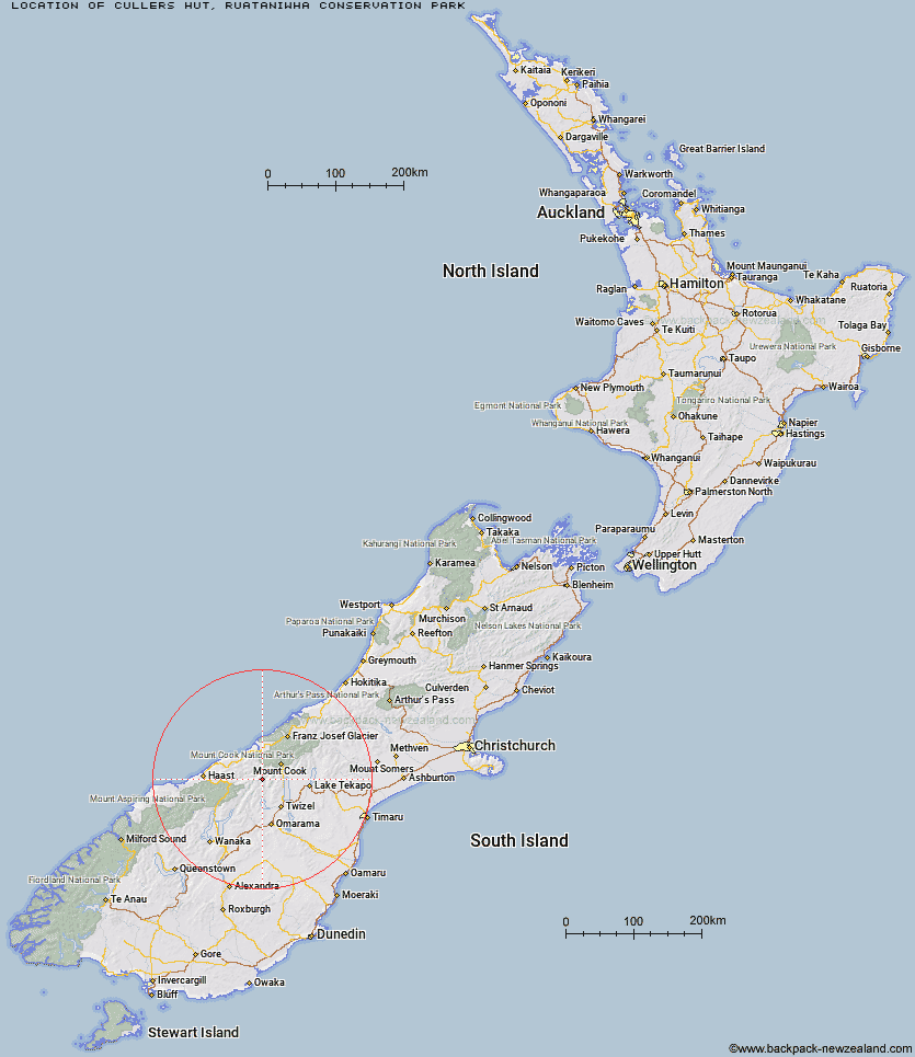
Topo Map showing location of Cullers Hut
This information is sourced from DoC, LINZ and Openstreetmap. Some of the hut photos are mine and the rest are from DoC. I will be adding an upload feature soon so people can photos of .Cullers Hut.
Basic info: standard six-bunk hut in the Mackenzie Country and Waitaki area.
Latitude: -43.9221009111
Longitude: 169.836473022
Location: Ruataniwha Conservation Park
Area: Canterbury
Type of Hut: Standard
Tracks: Hopkins valley tracks
Map: BY14 Topo Map | Road Map
Does this hut still exist? Have any more information? Contact
Scroll down to see a topographical map and road map showing the location of Cullers Hut
[ A ] [ B ] [ C ] [ D ] [ E ] [ F ] [ G ] [ H ] [ I ] [ J ] [ K ] [ L ] [ M ] [ N ] [ O ] [ P ] [ Q ] [ R ] [ S ] [ T ] [ U ] [ V ] [ W ] [ Y ] [ Z ]
Closest 20 Huts to Cullers Hut
These are as the crow fliesElcho Hut 1.14km Dasler Bivouac 3.88km Dodger Hut 4.48km Red Hut 8.52km Grough Hut 8.92km Brodrick Hut 10.43km Erceg Hut 10.49km Station Hut 11.15km Kennedy Hut 11.21km Monument Hut 11.5km Creswicke Flat Hut 11.82km Main Huxley Forks Hut 12.05km Le Crens Hut 12.38km Richardson Rock Bivouac 12.54km Stony Stream Bivouac 15.37km Waterfall Hut 15.71km South Huxley Bivouac 15.78km Reardon Hut 18.59km Whale Stream Hut 20.29km Forbes Hut 22.35km Barron Saddle Hut 22.4km Christmas Flat Hut 23.4km Lame Duck Hut 24.06km South Temple Hut 24.44km Top Hut 26.12km Harpers Rock Bivouac 26.58km Tunnel Creek Hut 26.63km Horace Walker Hut 26.85km Baikie Hut 27.58km Mueller Hut 28.93km Cassel Flat Hut 29.32km Jollie Hut 30.03km Hagens Hut 30.35km Ferguson Hut 31.7km Sefton Bivvy 32.36km Middle Head Hut 32.47km Stocking Stream Shelter 32.5km Wills Hut 32.66km Douglas Rock Hut 33.3km Maitland Hut 33.59km