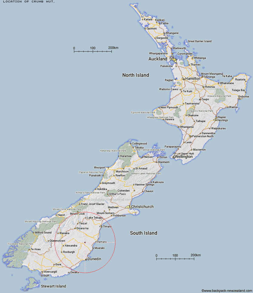
Topo Map showing location of Crumb Hut
This information is sourced from DoC, LINZ and Openstreetmap. Some of the hut photos are mine and the rest are from DoC. I will be adding an upload feature soon so people can photos of .Crumb Hut.
Latitude: -45.1001912304
Longitude: 170.444711861
Location:
Type of Hut:
Map: Topo Map | Road Map
Does this hut still exist? Have any more information? Contact
Latitude: -45.1001912304
Longitude: 170.444711861
Location:
Type of Hut:
Map: Topo Map | Road Map
Does this hut still exist? Have any more information? Contact
Scroll down to see a topographical map and road map showing the location of Crumb Hut
[ A ] [ B ] [ C ] [ D ] [ E ] [ F ] [ G ] [ H ] [ I ] [ J ] [ K ] [ L ] [ M ] [ N ] [ O ] [ P ] [ Q ] [ R ] [ S ] [ T ] [ U ] [ V ] [ W ] [ Y ] [ Z ]
Closest 20 Huts to Crumb Hut
These are as the crow fliesCrumb Hut 0km Half Moon Hut 6.34km Middle Hut 7.4km Mitchells Hut 10.16km Grays Hut 10.92km Balmoral Huts 11.63km Cayenne Hut 13.14km Mount Hut 14.35km Gentle Annie Hut 14.98km Bog Hut 19.35km Red Hut 24.01km Buster Hut 24.4km Brown Hut 27.46km Staircase Hut 28.31km Tailings Hut 31.52km Hut Creek Hut 32.39km Ida Railway Hut 35.99km Awakino Ski Field 37.4km Chimney Creek Hut 37.5km Wire Yards Hut 37.97km Leaning Lodge 45.19km Big Hut 47.21km Pearson Hut 55.31km Waitaki Huts 58.1km Otamatapaio Hut 59.51km Boundary Creek Hut 62.16km Howells Hut 62.3km Bendoran Hut 62.94km Christmas Creek Hut 67.35km Lauder Basin Hut 67.92km Philip J Cox Memorial Hut 68.1km Mt John Hut 68.68km Jubilee Hut 68.81km Canadian Hut 68.85km Top Hut 68.95km Richmond Hut 70.39km The Swamp Hut 70.85km Possum Hut 72.08km Poplar Hut 72.66km Tent Hut 77.88km