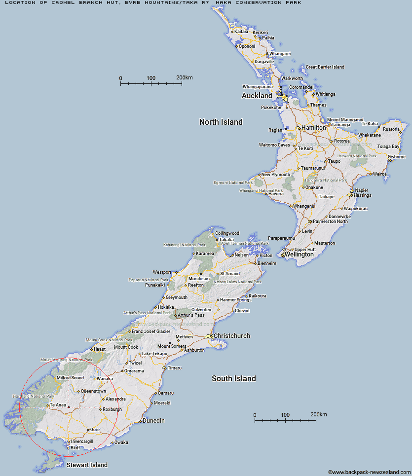
Topo Map showing location of Cromel Branch Hut
This information is sourced from DoC, LINZ and Openstreetmap. Some of the hut photos are mine and the rest are from DoC. I will be adding an upload feature soon so people can photos of .Cromel Branch Hut.
Basic info: basic four-bunk hut in the Southland area.
Latitude: -45.4733827433
Longitude: 168.360070466
Location: Eyre Mountains/Taka Rā Haka Conservation Park
Area: Southland
Type of Hut: Basic/bivvies
Tracks: Eyre Mountains/Taka Ra Haka routes
Map: CD10 Topo Map | Road Map
Does this hut still exist? Have any more information? Contact
Scroll down to see a topographical map and road map showing the location of Cromel Branch Hut
[ A ] [ B ] [ C ] [ D ] [ E ] [ F ] [ G ] [ H ] [ I ] [ J ] [ K ] [ L ] [ M ] [ N ] [ O ] [ P ] [ Q ] [ R ] [ S ] [ T ] [ U ] [ V ] [ W ] [ Y ] [ Z ]
Closest 20 Huts to Cromel Branch Hut
These are as the crow fliesUpper Cromel Hut 3.99km Irthing Hut 4.29km Islands Hut 5.48km Mansion Hut 5.8km Mt Bee Bunkrooms 5.85km Cromel Base Hut 7.21km Shepherd Creek Hut 9.52km Upper Windley Hut 9.72km Ashton Hut 12.22km Dog Box Bivouac 12.48km Lower Windley Hut 13.32km Cowshed Hut 14.28km Lincoln Hut 15.49km Upper Oreti Hut 15.54km Oreti Hut 18.22km Kiwi Burn Hut 24.79km Billy Hut 25.49km Mitchells Hut 27.48km Ross Hut 27.56km Saint Marys Hut 28.22km Mud Hut 29.53km Garston Ski Hut 30.34km Slate Hut 30.47km Siberia Hut 31.3km West Burn Hut 33.79km Becketts Hut 34.38km Lower Princhester Hut 34.52km Careys Hut 35.2km Army Hut 35.25km Dome Hut 35.35km Jim Baird Hut 36.32km Sullivan Hut 38.19km Aparima Huts 38.27km Upper Princhester Hut 38.49km Long Burn Hut 39.25km Hyde Home Hut 39.53km Boundary Hut 39.7km Aparima Forks Hut 40.06km Flaxy Hut 42.51km Junction Hut 42.94km