Topo Map showing location of Cold Stream Hut
This information is sourced from DoC, LINZ and Openstreetmap. Some of the hut photos are mine and the rest are from DoC. I will be adding an upload feature soon so people can photos of .Cold Stream Hut.
Basic info: standard six-bunk hut in the North Canterbury and Arthur's Pass area.
Latitude: -42.7439615607
Longitude: 172.382102507
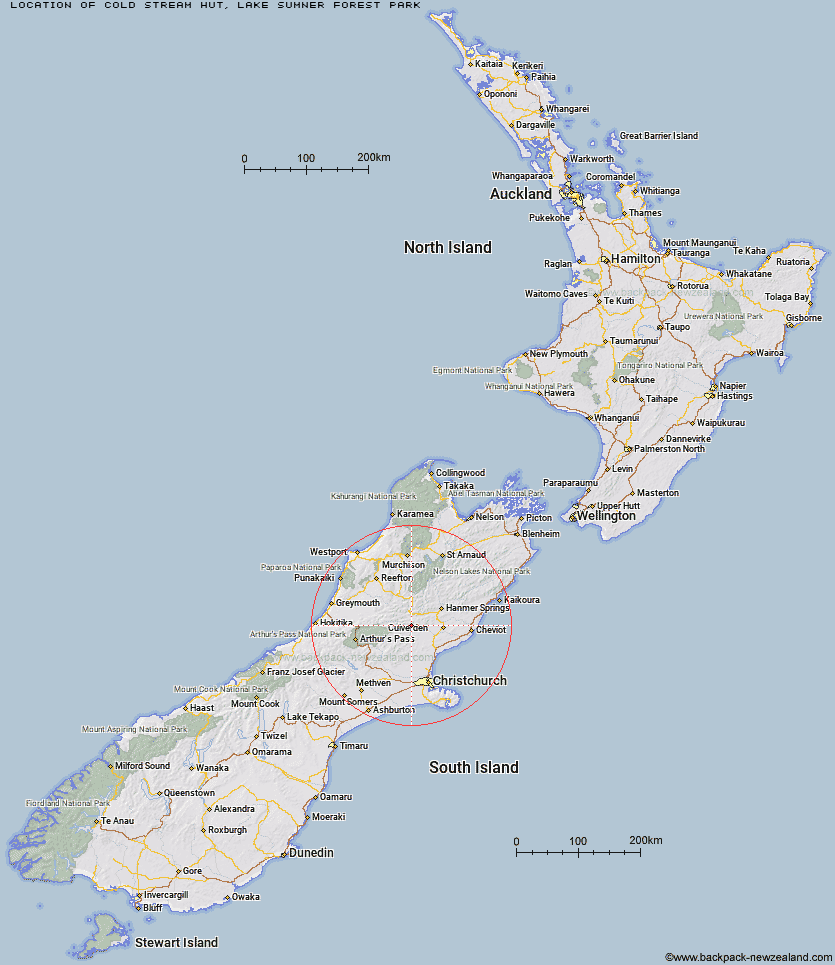
Location: Lake Sumner Forest Park
Area: Canterbury
Type of Hut: Standard
Map: BU23 Topo Map | Road Map
Does this hut still exist? Have any more information? Contact
Basic info: standard six-bunk hut in the North Canterbury and Arthur's Pass area.
Latitude: -42.7439615607
Longitude: 172.382102507
Location: Lake Sumner Forest Park
Area: Canterbury
Type of Hut: Standard
Map: BU23 Topo Map | Road Map
Does this hut still exist? Have any more information? Contact
Scroll down to see a topographical map and road map showing the location of Cold Stream Hut
[ A ] [ B ] [ C ] [ D ] [ E ] [ F ] [ G ] [ H ] [ I ] [ J ] [ K ] [ L ] [ M ] [ N ] [ O ] [ P ] [ Q ] [ R ] [ S ] [ T ] [ U ] [ V ] [ W ] [ Y ] [ Z ]
Closest 20 Huts to Cold Stream Hut
These are as the crow fliesJollie Brook Hut 4.76km Glenrae Hut 4.81km Glenrae Bivouac 7.38km Gabriel Hut 7.95km Evangeline Bivouac 10.87km Bush Hut 13.34km Hope Halfway Hut 15.83km Valley Camp Hut 15.91km Museum Hut 16.27km Deep Creek Hut 17.09km Bus Shelter 17.64km Lake Mason Hut 17.69km Seldom Inn Hut 19.51km Saint Jacob's Hut 19.52km Bush Camp Hut 19.59km Lake Sumner Hut 19.61km Three Mile Stream Hut 20.88km Esk Bivouac 21.29km Stony Stream Hut 22.49km Carlyle Hut 23.45km Hurunui Hut 23.79km Top Hope Hut 24.07km South Branch Research Hut 24.68km Tommys Cabin 24.98km Doubtful Hut 25.01km Lake Man Bivouac 25.19km Anderson's Hut 25.4km Cattle Creek Hut 26.22km North Esk Hut 26.26km Ant Stream Bivouac 27.07km Doubtless Hut 27.78km Mackenzie Bivouac 27.96km Tutu Hut 28.28km Magdalen Hut 28.46km Ant Stream Hut 29.34km Devils Den Bivouac 29.37km Candlesticks Bivouac 30.74km Anna Hut 31.04km Nina Hut 31.31km Mackenzie Hut 31.56km