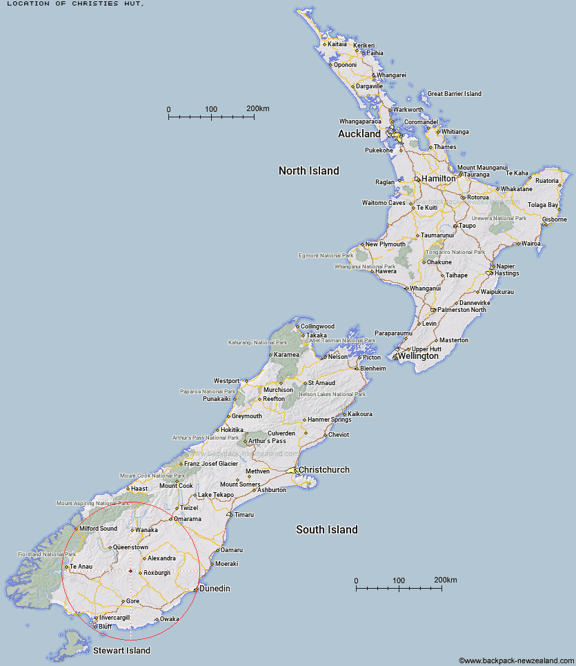
Topo Map showing location of Christies Hut
This information is sourced from DoC, LINZ and Openstreetmap. Some of the hut photos are mine and the rest are from DoC. I will be adding an upload feature soon so people can photos of .Christies Hut.
Latitude: -45.4942407793
Longitude: 169.100312516
Location:
Type of Hut:
Map: Topo Map | Road Map
Does this hut still exist? Have any more information? Contact
Latitude: -45.4942407793
Longitude: 169.100312516
Location:
Type of Hut:
Map: Topo Map | Road Map
Does this hut still exist? Have any more information? Contact
Scroll down to see a topographical map and road map showing the location of Christies Hut
[ A ] [ B ] [ C ] [ D ] [ E ] [ F ] [ G ] [ H ] [ I ] [ J ] [ K ] [ L ] [ M ] [ N ] [ O ] [ P ] [ Q ] [ R ] [ S ] [ T ] [ U ] [ V ] [ W ] [ Y ] [ Z ]
Closest 20 Huts to Christies Hut
These are as the crow fliesBush Huts 3.85km Junction Hut 6.78km Andrew Rees Hut 8.2km Potters Huts 8.24km McCrimmons Hut 11.33km Titan Huts 11.36km Diggers Hut 12.36km Blue Lake Huts 12.73km Black Hut 14.46km Stronach Hut 16.38km Nicholsons Hut 17.08km Junction Hut 17.43km Flaxy Hut 18.57km Boundary Hut 18.61km Dome Hut 24.32km Whites Hut 25.72km Baileys Hut 26.13km Hyde Home Hut 26.86km Slate Hut 27.38km Garston Ski Hut 27.83km Mud Hut 28.22km Jim Baird Hut 28.83km Sullivan Hut 29.25km Leithen Hut 29.59km Old Woman Hut 31.9km Beaumont Hut 32.59km Mitchells Hut 41.56km Two Mile Hut 42.48km Cairnmuir Musterer's Hut 44.07km Ross Hut 45.08km Siberia Hut 47.24km Glen Roy Raceman's Hut 48.62km Long Burn Hut 50.3km Cowshed Hut 50.9km Mansion Hut 52.7km Shepherd Creek Hut 53.09km Canadian Hut 53.38km Billy Hut 53.38km Saint Marys Hut 55.24km Dog Box Bivouac 56.52km