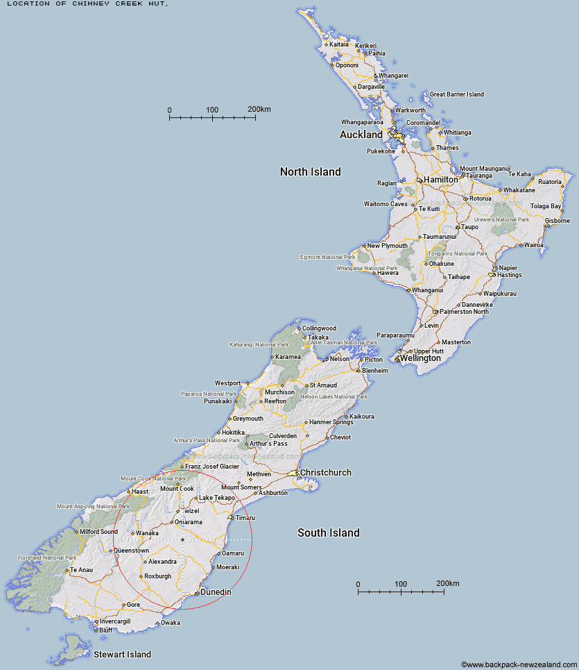
Topo Map showing location of Chimney Creek Hut
This information is sourced from DoC, LINZ and Openstreetmap. Some of the hut photos are mine and the rest are from DoC. I will be adding an upload feature soon so people can photos of .Chimney Creek Hut.
Latitude: -44.8155342001
Longitude: 170.189195926
Location:
Type of Hut:
Map: Topo Map | Road Map
Does this hut still exist? Have any more information? Contact
Latitude: -44.8155342001
Longitude: 170.189195926
Location:
Type of Hut:
Map: Topo Map | Road Map
Does this hut still exist? Have any more information? Contact
Scroll down to see a topographical map and road map showing the location of Chimney Creek Hut
[ A ] [ B ] [ C ] [ D ] [ E ] [ F ] [ G ] [ H ] [ I ] [ J ] [ K ] [ L ] [ M ] [ N ] [ O ] [ P ] [ Q ] [ R ] [ S ] [ T ] [ U ] [ V ] [ W ] [ Y ] [ Z ]
Closest 20 Huts to Chimney Creek Hut
These are as the crow fliesIda Railway Hut 4.38km Tailings Hut 6.1km Wire Yards Hut 6.84km Hut Creek Hut 7.4km Brown Hut 10.07km Awakino Ski Field 10.32km Buster Hut 13.2km Otamatapaio Hut 22.35km Boundary Creek Hut 28.1km Pearson Hut 30.31km Top Hut 33.92km Balmoral Huts 35.8km Crumb Hut 37.5km Middle Hut 39.66km Richmond Hut 40.43km Lauder Basin Hut 41.87km Half Moon Hut 43.69km Mitchells Hut 47.33km Polson's Hut 48.08km Grays Hut 48.17km Mount Hut 50.02km Cayenne Hut 50.63km Gentle Annie Hut 52.47km Bog Hut 56.26km Red Hut 61.19km Burnt Bush Hut 61.52km Staircase Hut 65.65km Hideaway Hut 65.93km Top Timaru Hut 66.58km Stodys Hut 66.79km Leaning Lodge 67.61km Big Hut 69.55km Mae West Bivouac 69.9km Pakituhi Hut 70.76km Snowy Gorge Hut 70.88km Moonlight & Roses Hut 71.93km Junction Hut 72.55km Bush Hut 73.2km Cotters Hut 73.28km Ben Avon Hut 74.33km