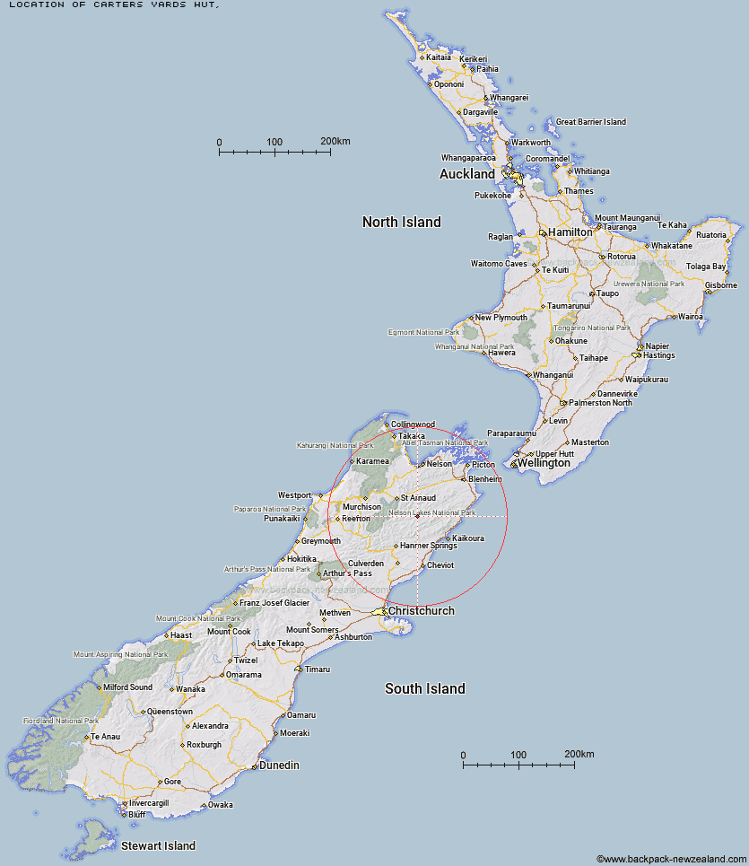
Topo Map showing location of Carters Yards Hut
This information is sourced from DoC, LINZ and Openstreetmap. Some of the hut photos are mine and the rest are from DoC. I will be adding an upload feature soon so people can photos of .Carters Yards Hut.
Latitude: -42.0679987561
Longitude: 173.192679768
Location:
Type of Hut:
Map: Topo Map | Road Map
Does this hut still exist? Have any more information? Contact
Latitude: -42.0679987561
Longitude: 173.192679768
Location:
Type of Hut:
Map: Topo Map | Road Map
Does this hut still exist? Have any more information? Contact
Scroll down to see a topographical map and road map showing the location of Carters Yards Hut
[ A ] [ B ] [ C ] [ D ] [ E ] [ F ] [ G ] [ H ] [ I ] [ J ] [ K ] [ L ] [ M ] [ N ] [ O ] [ P ] [ Q ] [ R ] [ S ] [ T ] [ U ] [ V ] [ W ] [ Y ] [ Z ]
Closest 20 Huts to Carters Yards Hut
These are as the crow fliesSaxton Hut 3.61km Junction Hut 3.9km Team Hut 5.6km Munroe Hut 7.35km Acheron Hut 8.37km Severn Hut 12.88km Red Gate Hut 13.58km Top Leatham Hut 13.95km Burnt Yards Hut 14.53km Top Gordon Hut 15.15km Bottom Gordons Hut 16.28km Lake McRae Hut 16.62km Branch Bivouac 17.32km Bottom Misery Hut 21.05km Lees Creek Hut 22.73km Barbers Hut 22.82km Siberia Hut 23.13km Half Moon Hut 23.77km Guide Hut 23.92km Seymour Hut 24.12km Blue Mountain Hut 25.28km Sedgemere Sleepout 25.3km Palmer Hut 25.36km Top Misery Hut 26.22km Connors Creek Hut 26.33km Lost Stream Bivouac 26.45km Greigs Hut 26.72km Caves Hut 29.09km Yarra Hut 29.4km Old Middlehurst Hut 29.5km Mid Silverstream Hut 29.54km Black Spur Historic Hut 30.12km Palmer Bivouac 30.33km Bull Paddock Creek Hut 30.82km Warden Hut 30.97km Goose Flat Hut 30.97km Boulder Forks Hut 31.33km Alfred Hut 31.33km Island Gully Hut 31.47km Top Whare 31.64km