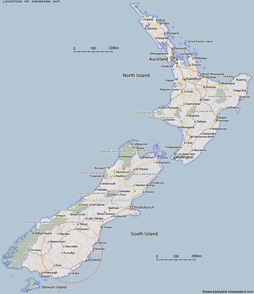
Topo Map showing location of Canadian Hut
This information is sourced from DoC, LINZ and Openstreetmap. Some of the hut photos are mine and the rest are from DoC. I will be adding an upload feature soon so people can photos of .Canadian Hut.
Latitude: -45.5100212734
Longitude: 169.784831309
Location:
Type of Hut:
Map: Topo Map | Road Map
Does this hut still exist? Have any more information? Contact
Latitude: -45.5100212734
Longitude: 169.784831309
Location:
Type of Hut:
Map: Topo Map | Road Map
Does this hut still exist? Have any more information? Contact
Scroll down to see a topographical map and road map showing the location of Canadian Hut
[ A ] [ B ] [ C ] [ D ] [ E ] [ F ] [ G ] [ H ] [ I ] [ J ] [ K ] [ L ] [ M ] [ N ] [ O ] [ P ] [ Q ] [ R ] [ S ] [ T ] [ U ] [ V ] [ W ] [ Y ] [ Z ]
Closest 20 Huts to Canadian Hut
These are as the crow fliesThe Swamp Hut 8.37km Howells Hut 12.29km Tent Hut 19.48km Big Hut 24.11km Leaning Lodge 25.64km Iron Hut 37.26km Junction Hut 46.82km Nicholsons Hut 49.87km Potters Huts 50.79km Andrew Rees Hut 51.22km Christies Hut 53.38km Poplar Hut 53.43km Mt John Hut 53.77km Boundary Hut 53.79km Diggers Hut 54.49km Christmas Creek Hut 54.99km Bendoran Hut 55.02km Jubilee Hut 56.03km McCrimmons Hut 56.23km Bush Huts 57.16km Whites Hut 57.67km Philip J Cox Memorial Hut 59.77km Stronach Hut 59.78km Possum Hut 60.14km Black Hut 60.19km Cairnmuir Musterer's Hut 61.53km Beaumont Hut 62.07km Leithen Hut 63.05km Titan Huts 63.32km Ben Rudds Hut 63.37km Old Woman Hut 65.14km Blue Lake Huts 66.06km Gentle Annie Hut 67.3km Cayenne Hut 68.49km Crumb Hut 68.85km Junction Hut 69.37km Half Moon Hut 69.64km Flaxy Hut 70.17km Grays Hut 70.6km Mitchells Hut 70.88km