Topo Map showing location of Bushline Hut
This information is sourced from DoC, LINZ and Openstreetmap. Some of the hut photos are mine and the rest are from DoC. I will be adding an upload feature soon so people can photos of .Bushline Hut.
Basic info: Bushline Hut provides a great overnight tramp for families with children or new trampers.
Latitude: -41.8367640586
Longitude: 172.823226192
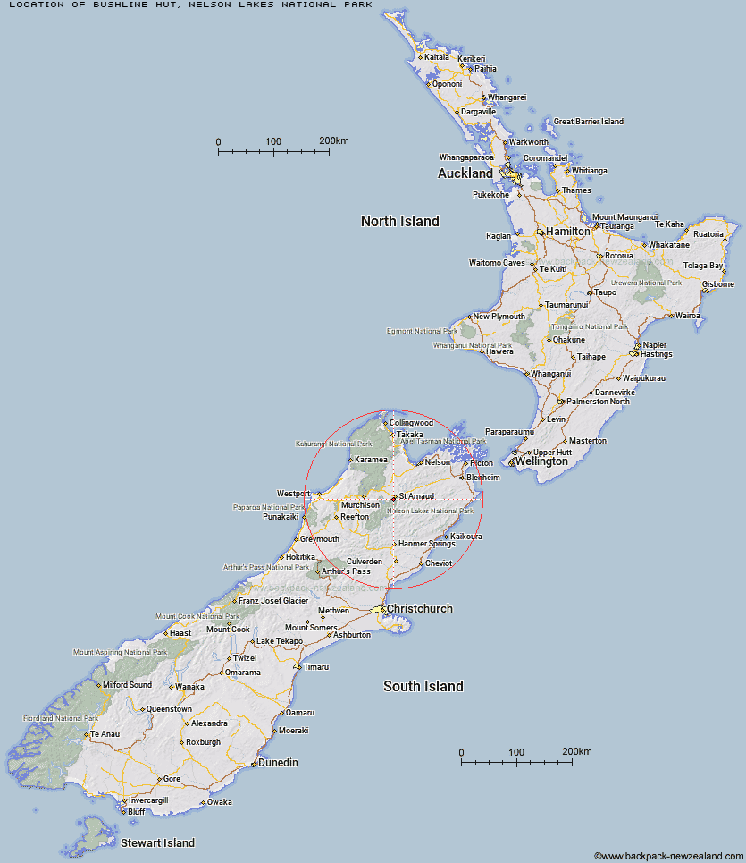
Location: Nelson Lakes National Park
Area: Nelson/Tasman
Type of Hut: Serviced
Tracks: Mount Robert Circuit
Map: BS24 Topo Map | Road Map
Does this hut still exist? Have any more information? Contact
Basic info: Bushline Hut provides a great overnight tramp for families with children or new trampers.
Latitude: -41.8367640586
Longitude: 172.823226192
Location: Nelson Lakes National Park
Area: Nelson/Tasman
Type of Hut: Serviced
Tracks: Mount Robert Circuit
Map: BS24 Topo Map | Road Map
Does this hut still exist? Have any more information? Contact

Image: DoC
Scroll down to see a topographical map and road map showing the location of Bushline Hut
[ A ] [ B ] [ C ] [ D ] [ E ] [ F ] [ G ] [ H ] [ I ] [ J ] [ K ] [ L ] [ M ] [ N ] [ O ] [ P ] [ Q ] [ R ] [ S ] [ T ] [ U ] [ V ] [ W ] [ Y ] [ Z ]
Closest 20 Huts to Bushline Hut
These are as the crow fliesBushline Hut 0km Relax Shelter 1.18km Bushedge Shelter 1.19km Coldwater Hut 3.78km Lakehead Hut 4.32km Speargrass Hut 6.11km Angelus Hut 8.43km Hopeless Hut 11.79km Sabine Hut 13.76km Bull Paddock Creek Hut 14.33km Top Misery Hut 15.11km Beebys Hut 15.83km John Tait Hut 16km D'Urville Hut 16.53km Mount Misery Hut 16.64km Cupola Hut 16.78km Lost Stream Bivouac 16.99km Lees Creek Hut 17.25km Red Hills Hut 18.24km Mid Silverstream Hut 18.66km Silverstream Bivouac 18.75km Connors Creek Hut 19.44km Bottom Misery Hut 20.5km Upper Travers Hut 21.3km Siberia Hut 21.38km Tiraumea Hut 21.5km Begley Hut 22.03km West Sabine Hut 22.25km Branch Bivouac 22.63km Morgan Hut 22.74km Greigs Hut 23.36km Porters Creek Hut 24.97km Mole Hut 24.98km Top Leatham Hut 26.25km Bottom Gordons Hut 28.03km Blue Lake Hut 28.28km Barbers Hut 28.8km George Lyon Hut 29.57km Hunters Hut 30.31km Caves Hut 30.58km