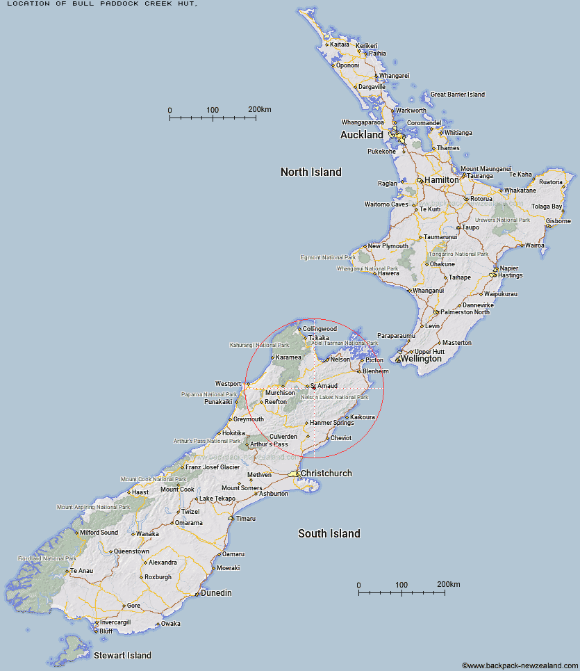
Topo Map showing location of Bull Paddock Creek Hut
This information is sourced from DoC, LINZ and Openstreetmap. Some of the hut photos are mine and the rest are from DoC. I will be adding an upload feature soon so people can photos of .Bull Paddock Creek Hut.
Latitude: -41.8325507253
Longitude: 172.99614261
Location:
Type of Hut:
Map: Topo Map | Road Map
Does this hut still exist? Have any more information? Contact
Latitude: -41.8325507253
Longitude: 172.99614261
Location:
Type of Hut:
Map: Topo Map | Road Map
Does this hut still exist? Have any more information? Contact
Scroll down to see a topographical map and road map showing the location of Bull Paddock Creek Hut
[ A ] [ B ] [ C ] [ D ] [ E ] [ F ] [ G ] [ H ] [ I ] [ J ] [ K ] [ L ] [ M ] [ N ] [ O ] [ P ] [ Q ] [ R ] [ S ] [ T ] [ U ] [ V ] [ W ] [ Y ] [ Z ]
Closest 20 Huts to Bull Paddock Creek Hut
These are as the crow fliesLost Stream Bivouac 4.36km Mid Silverstream Hut 4.37km Top Misery Hut 5.73km Silverstream Bivouac 5.74km Siberia Hut 8.35km Greigs Hut 9.05km Bottom Misery Hut 9.82km Red Hills Hut 11.28km Lees Creek Hut 12.44km Beebys Hut 13.7km Bushline Hut 14.33km Barbers Hut 14.73km Branch Bivouac 14.96km Lakehead Hut 15.19km Bushedge Shelter 15.36km Coldwater Hut 15.42km Relax Shelter 15.49km Bottom Gordons Hut 15.84km Caves Hut 16.33km Top Leatham Hut 17.18km Top Gordon Hut 19.83km Porters Creek Hut 19.9km Speargrass Hut 20.31km Connors Creek Hut 21.3km Angelus Hut 21.41km Boulder Forks Hut 21.92km Hopeless Hut 22.62km John Tait Hut 24.59km Team Hut 25.34km Top Wairoa Hut 25.52km Severn Hut 25.72km Hunters Hut 25.92km Cupola Hut 26.74km Hidden Hut 26.9km Sabine Hut 27.16km Blue Mountain Hut 27.37km Begley Hut 27.71km Saxton Hut 27.95km Junction Hut 28.26km Turkeys Nest Bivouac 28.63km