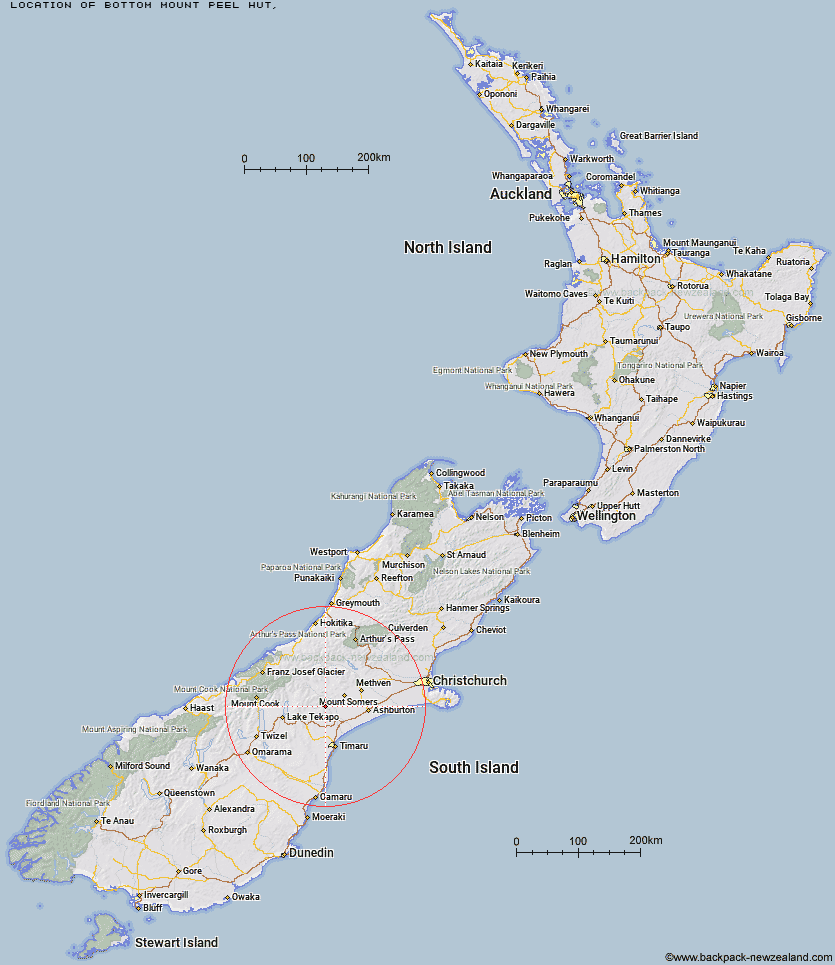
Topo Map showing location of Bottom Mount Peel Hut
This information is sourced from DoC, LINZ and Openstreetmap. Some of the hut photos are mine and the rest are from DoC. I will be adding an upload feature soon so people can photos of .Bottom Mount Peel Hut.
Latitude: -43.8484265554
Longitude: 171.118831812
Location:
Type of Hut:
Map: Topo Map | Road Map
Does this hut still exist? Have any more information? Contact
Latitude: -43.8484265554
Longitude: 171.118831812
Location:
Type of Hut:
Map: Topo Map | Road Map
Does this hut still exist? Have any more information? Contact
Scroll down to see a topographical map and road map showing the location of Bottom Mount Peel Hut
[ A ] [ B ] [ C ] [ D ] [ E ] [ F ] [ G ] [ H ] [ I ] [ J ] [ K ] [ L ] [ M ] [ N ] [ O ] [ P ] [ Q ] [ R ] [ S ] [ T ] [ U ] [ V ] [ W ] [ Y ] [ Z ]
Closest 20 Huts to Bottom Mount Peel Hut
These are as the crow fliesTop Mount Peel Huts 4.23km Ribbonwood Hut 8.19km Sutherland's Hut 13.06km Taffy Hut 14.44km Devil's Creek Hut 17.79km Pleasant Gully Hut 18.73km Spurs Hut 19.96km Halfway Hut 20.01km Felt Hut 27.44km South Opuha Hut 31.74km Woolshed Creek Hut 32.13km Stone Hut 33.23km Royal Hut 33.75km Pinnacles Hut 33.94km Boundary Creek Hut 35.66km Crooked Spur Hut 36.37km Manuka Hut 36.43km Three Creeks Hut 37.94km Camp Stream Hut 38.17km Dog Kennel Bivouac 38.48km Cookshop Hut 39.97km Rex Simpson Hut 40.09km Double Hut 40.86km Potts Hut 41.49km Black Mountain Hut 41.81km Alford Hut 42.3km Cutty Grass Hut 43.49km Lagoon Hut 44.73km Stony Stream Hut 45.2km Cookies Hut 48.02km Top Hut 48.1km Highland Home 48.31km Growler Hut 48.4km Erewhon Station Hut 49.62km Comyns Hut 50.76km Macaulay Hut 51.03km Lawrence Hut 51.1km Ribbonwood Hut 51.47km Tribulation Hut 51.57km Charlies Hut 52.13km