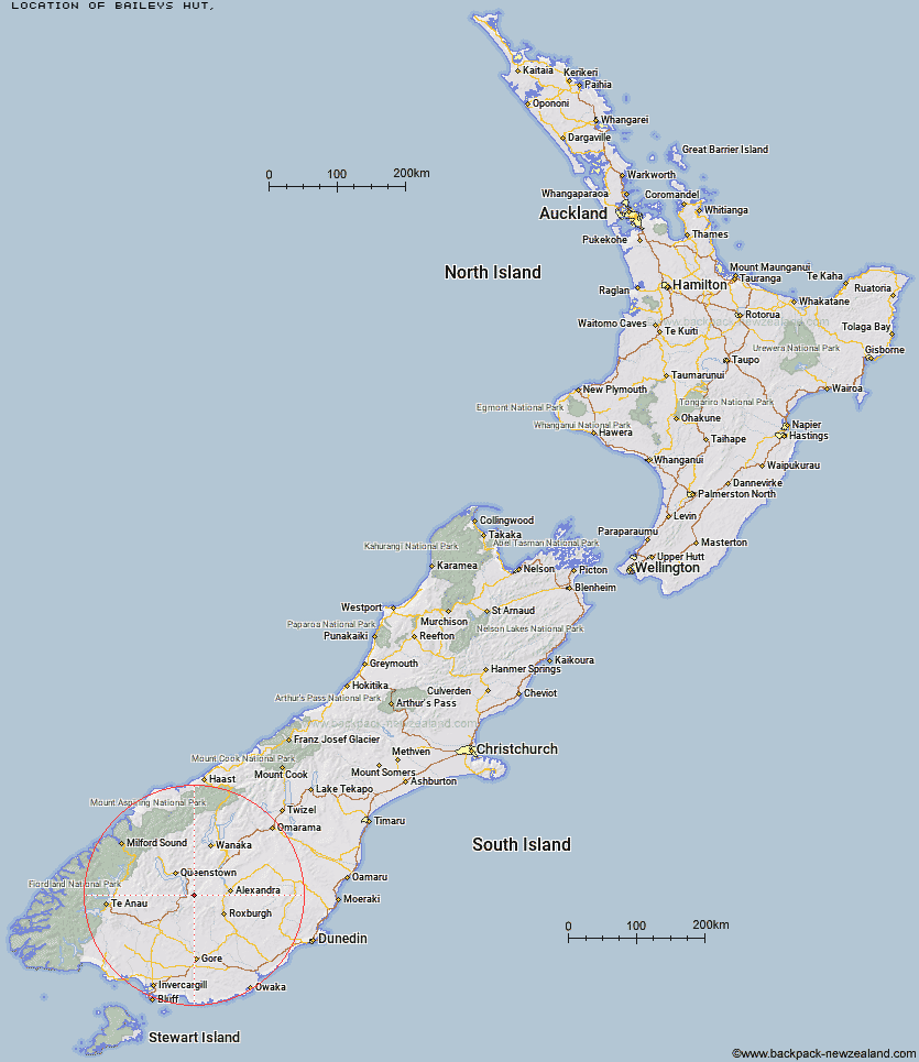
Topo Map showing location of Baileys Hut
This information is sourced from DoC, LINZ and Openstreetmap. Some of the hut photos are mine and the rest are from DoC. I will be adding an upload feature soon so people can photos of .Baileys Hut.
Latitude: -45.3039281794
Longitude: 168.90398148
Location:
Type of Hut:
Map: Topo Map | Road Map
Does this hut still exist? Have any more information? Contact
Latitude: -45.3039281794
Longitude: 168.90398148
Location:
Type of Hut:
Map: Topo Map | Road Map
Does this hut still exist? Have any more information? Contact
Scroll down to see a topographical map and road map showing the location of Baileys Hut
[ A ] [ B ] [ C ] [ D ] [ E ] [ F ] [ G ] [ H ] [ I ] [ J ] [ K ] [ L ] [ M ] [ N ] [ O ] [ P ] [ Q ] [ R ] [ S ] [ T ] [ U ] [ V ] [ W ] [ Y ] [ Z ]
Closest 20 Huts to Baileys Hut
These are as the crow fliesTwo Mile Hut 16.43km Old Woman Hut 16.83km McCrimmons Hut 17.18km Diggers Hut 18.37km Whites Hut 18.57km Boundary Hut 19.08km Blue Lake Huts 19.73km Garston Ski Hut 20.65km Mitchells Hut 21.31km Slate Hut 22.02km Nicholsons Hut 22.72km Andrew Rees Hut 22.81km Potters Huts 23.23km Bush Huts 23.35km Ross Hut 23.81km Mud Hut 23.87km Siberia Hut 24.14km Glen Roy Raceman's Hut 24.28km Long Burn Hut 24.99km Christies Hut 26.13km Titan Huts 27.32km Junction Hut 28.47km Dome Hut 28.82km Flaxy Hut 29.63km Junction Hut 31.72km Billy Hut 31.96km Saint Marys Hut 32.86km Cairnmuir Musterer's Hut 34.04km Cowshed Hut 34.61km Black Hut 35.7km Jim Baird Hut 36.55km Hyde Home Hut 36.97km Stronach Hut 38.26km Sullivan Hut 38.53km Shepherd Creek Hut 38.53km Dog Box Bivouac 39.98km Sam Summers Hut 40.8km Deep Creek Hut 42.14km Mansion Hut 43.33km Irthing Hut 43.73km